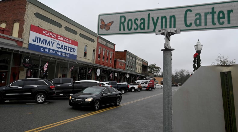
The motorcade route for former first lady Rosalynn Carter from South Georgia to Atlanta has been released.
Starting in downtown Plains, Georgia, at 10 a.m., the motorcade will travel northeast on U.S. 280 to the Phoebe Sumter Medical Center, located about 10 miles away in nearby Americus. Following a brief departure ceremony at the hospital, the motorcade will continue on U.S. 280, turn north on U.S. 19, and head east on West Lamar Street through downtown Americus.
The motorcade will then turn right on Tripp Street and enter Georgia Southwestern State University from GSW State University Drive, where a wreath-laying ceremony will take place at the Rosalynn Carter Health and Human Sciences Complex.
Follow today’s live updates from the AJC
After ceremonies conclude, the motorcade will leave via State University Drive, turn left on Tripp Street and make another left on East Forsyth Street – again passing through the city’s downtown area.
The motorcade will then travel north on U.S. 19 for 35 miles toward the town of Butler. Upon reaching state Route 540/96, it will head east and continue 34 miles to I-75 at Byron. For seven miles, the motorcade will travel north on the interstate before getting on I-475 and eventually rejoining I-75 toward Atlanta.
In Atlanta, it will take Exit 248C for John Lewis Freedom Parkway and arrive at the Carter Presidential Center around 2:30 p.m.
“Please note that parking is likely to be extremely limited in some places and there are likely to be temporary road closures,” the Carter Center wrote in a news release. “Please be respectful of private property at all times.”
About the Author
Keep Reading
The Latest
Featured


