LIVE WEATHER-TRAFFIC: Severe thunderstorm warnings expire in metro Atlanta; storms move east
ATLANTA FORECAST
Thursday: High: 83
Thursday night: Low: 71
Friday: High: 83
» For a detailed forecast, visit The Atlanta Journal-Constitution weather page.
[5:16 p.m.]: The severe thunderstorm warnings for Gwinnett, Jasper, Newton and Rockdale counties all expired at 5:15 p.m., the NWS said. The severe thunderstorm warnings for Walton and Madison were extended until 5:45 p.m., and several northeast Georgia counties also had severe thunderstorm warnings issued until 5:45 p.m.
[5:11 p.m.]: The severe thunderstorm warnings for DeKalb, Henry and Butts counties were cancelled, the NWS said. The severe thunderstorm warnings for Gwinnett, Jasper, Morgan, Newton, Rockdale and Walton counties continue until 5:15 p.m.
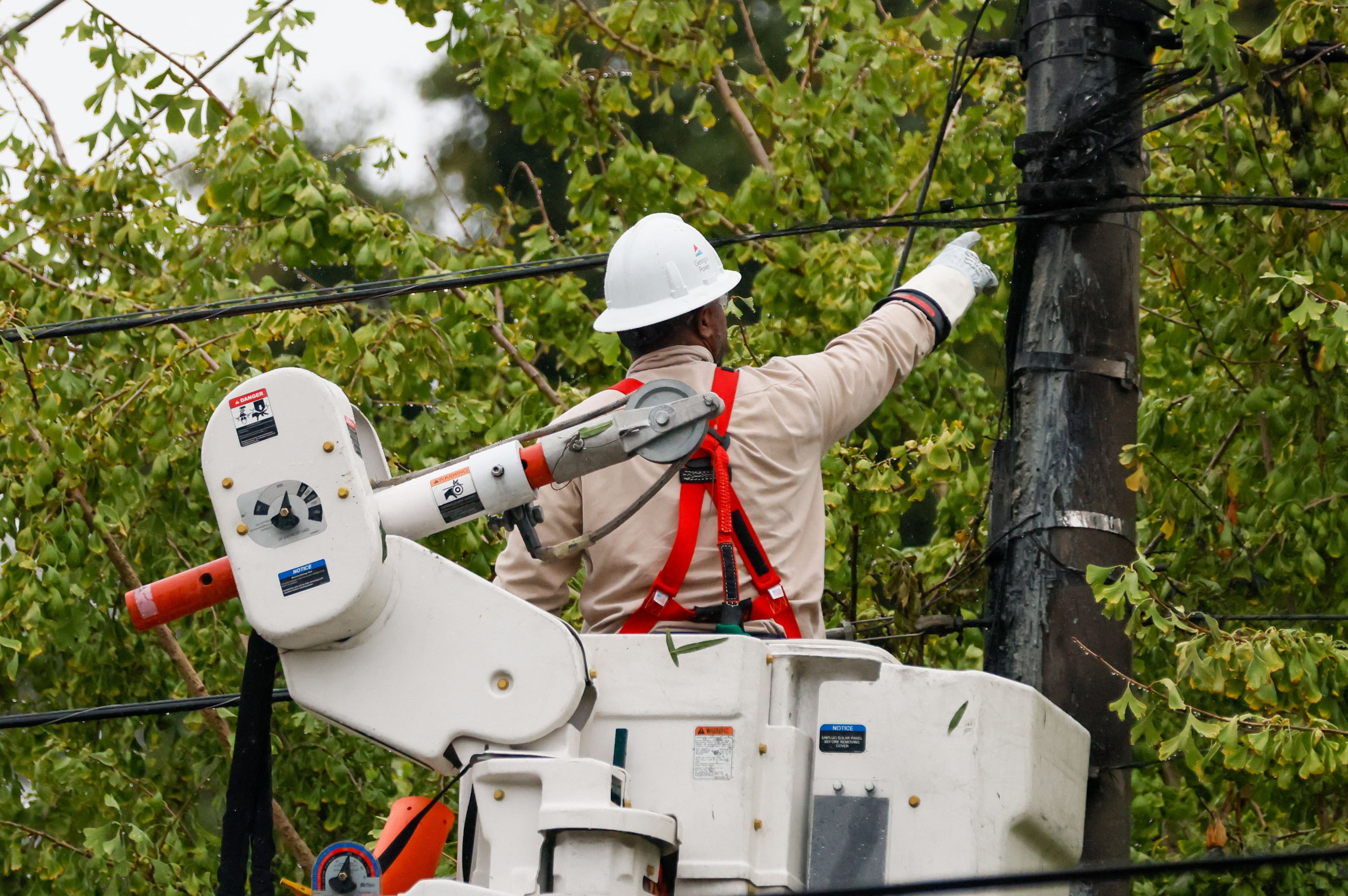
UPDATE [4:35 p.m.]: Severe thunderstorm warnings have been issued for DeKalb, Gwinnett, Henry, Jasper, Butts, Morgan, Newton, Rockdale and Walton counties until 5:15 p.m. by the National Weather Service.
Severe Thunderstorm Warning including Redan GA, Stockbridge GA, McDonough GA until 5:15 PM EDT pic.twitter.com/ukILkZjuac
— NWS Atlanta (@NWSAtlanta) September 27, 2018
ORIGINAL STORY: A wave of heavy rain is moving through metro Atlanta, and it's expected to complicate the evening commute.
“Heavy rain moving over the Downtown Connector right now into Buckhead and Midtown,” Channel 2 Action News meteorologist Katie Walls said.
Heavy rain moving over the Downtown Connector right now into Buckhead and Midtown. #gawx #ATL pic.twitter.com/NCrV6zcmGG
— Katie Walls (@KatieWallsWSB) September 27, 2018
According to Walls, the showers will become “more numerous and widespread as we head into the afternoon and evening commute.”
The afternoon commute could be messy. A front plus upper disturbance will produce showers and storms this afternoon. Some could have strong to damaging wind, plus heavy rain. Stay weather aware today. Most storms will be east of the area late evening. pic.twitter.com/VEUgPEBklg
— Karen Minton (@KarenMintonWSB) September 27, 2018
And strong to damaging winds may accompany the wet weather, Channel 2 meteorologist Karen Minton said.
Severe Thunderstorm Warning including LaGrange GA, West Point GA, Pine Mountain GA until 3:30 PM EDT pic.twitter.com/9ERLzzQKYS
— NWS Atlanta (@NWSAtlanta) September 27, 2018
There is still a danger of flash flooding in northwest Georgia, where up to 5 inches of rain have already fallen over the last several days. A flash flood watch remains in effect for parts of Bartow, Catoosa, Chattooga, Dade, Fannin, Floyd, Gilmer, Gordon, Murray, Pickens, Polk, Towns, Union, Walker and Whitfield counties, according to the National Weather Service.
FLASH FLOOD WATCH: Through 8pm. The counties in green could receive 1"-2" of additional rain on top of the 3"-5" already received. Updates on the rain all morning on Channel 2 WSB-TV pic.twitter.com/54uD08Yfsb
— Karen Minton (@KarenMintonWSB) September 27, 2018
The watch expires at 8 p.m. Thursday, when northwest Georgia will begin to dry out, Walls said. An additional 1 to 2 inches is expected to fall before the front moves into central Georgia.
“In the metro (area) I’m anticipating less than 1-inch additional rainfall,” she said.
Schools in Chattooga and Walker counties were on a two-hour delay Thursday morning due to the flood risk, Channel 2 reported.
A front will move into north, then central Georgia late this afternoon through Friday. An upper level disturbance will combine with the front to produce heavy rain in the area. 1/2" to 1-1/2" with isolated higher amounts possible today. pic.twitter.com/iNGnwImJej
— Karen Minton (@KarenMintonWSB) September 27, 2018
“Most of Friday, the emphasis is going to be shifting more to the south into central Georgia for tomorrow’s activity, but there could be that isolated shower or pop-up storm for the afternoon,” Minton said.
By the weekend, North Georgia should be much drier with only an isolated chance of a shower on Sunday.
Temperatures should stick to the lower 80s through the end of the week, but Minton said cooler morning temps are on their way next week.
“It does get a little bit cooler,” she said. “I’m finding some mid-60s into Tuesday, Wednesday of next week. And that’s not for highs. Those are for lows, but it certainly will feel a lot better with your high temperatures in the lower 80s.”

» For updated traffic information, listen to News 95.5 and AM 750 WSB and follow @ajcwsbtraffic on Twitter.
» Download The Atlanta Journal-Constitution app for weather alerts on-the-go.
About the Authors

Zachary Hansen, a Georgia native, covers economic development and commercial real estate for the AJC. He's been with the newspaper since 2018 and enjoys diving into complex stories that affect people's lives.