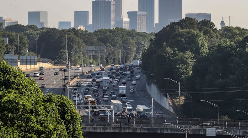
In 2011, the last time the Atlanta City Council had to redraw its boundaries, it had to contend with a relatively small increase in the city’s population: just 3,500 more people than the 2000 census count.
This time around, as the council embarks on its once-in-a-decade redistricting process, officials are facing a more drastic change. The city’s population grew by over 78,000 people between 2010 and 2020, the largest 10-year increase the city has seen since 1960, which was the first census to reflect the annexation of Buckhead into Atlanta.
The implications of that growth will play out at Atlanta City Hall over the next several months as the City Council redraws its district lines following the release of the 2020 census numbers. The likely outcome? Many residents could have new councilmembers representing them, as district lines are expected to shift toward the northeast.
Credit: Department of City Planning
Credit: Department of City Planning
The redistricting process aims to ensure that each of the council’s 12 districts has the same population, around 41,500 residents. The new map will be used for the 2025 and 2029 nonpartisan city elections, before the 2030 census forces another revision.
According to the census, areas on the Eastside and Northside saw disproportionate population increases, while districts on the Southside and in southwest Atlanta grew at a slower rate, remained stagnant or lost residents. The changes accompanied shifts in Atlanta’s demographic makeup; the census showed white, Hispanic and Asian population growth in Atlanta since 2010 far outpaced the number of new Black residents.
Councilman Amir Farohki’s District 2 — which includes much of Midtown, Old Fourth Ward and Inman Park — saw the largest uptick in population, as new, luxury apartment complexes sprouted up along the Beltline and in Midtown. As the map is currently drawn, Farohki has over 10,000 constituents too many.
The population of Councilwoman Andrea Boone’s District 10 on the Westside, which stretches from Westview to Adamsville, decreased by several thousand.
Faster-growing districts will have to shrink in geographical size, while areas that shrunk in population will pick up new neighborhoods to make up the difference. The specifics of how the councilmembers will adjust which neighborhoods they represent for the next four years will be worked out over the next several months.
The first maps will be presented internally to councilmembers Thursday, before several options are released to the public. Residents will have a chance to give their thoughts on the maps at several public input sessions, and council members will have their own work sessions.
Once the council finalizes and votes on the new district maps, they are sent to the U.S. Department of Justice for review, to ensure they are legal and fair. Unlike the state and country redistricting process — which is causing turmoil among some delegations under the Gold Dome this spring — the Georgia Legislature does not have to sign off on the new districts.
The debate over who represents which areas of town could still get contentious. Boone, who chairs the City Council committee that oversees the redistricting process, said she has already heard from other councilmembers about certain neighborhoods and parks they are eager to keep in their districts. Boone, for example, said she does not want to lose Adamsville, where she was born and raised.
The city also does not plan to draw any councilmembers out of their districts. Councilmembers hope the new maps don’t separate any neighborhoods, but Boone said that likely won’t be possible.
“You may not get everything you want. But that’s what it’s about, a collective effort to make sure this process is fair and that the residents are treated fairly and that these districts are drawn equally,” Boone said.
Ten years ago, the council had to go back to the drawing board at one point after members questioned whether a tentatively approved map could pass muster at the DOJ, arguing it reduced minority representation in several districts.
Given the demographic shifts since 2010, with much of the growth happening in predominantly white areas of the city, Hillis predicted the number of majority-minority council districts could be reduced after the latest redistricting debate.
“The population shifts make sense because the cost of living inside the city is continuing to rise,” said Tammy Greer, a political science professor at Clark Atlanta University. She pointed to income inequality between white and Black families on average, with forces of gentrification pushing lower-income Black residents out of intown neighborhoods.
“When you have this large gap, just from an income standpoint, then the areas around the city tend to diminish in accessibility.”
About the Author
The Latest
Featured


