WEATHER-TRAFFIC UPDATE: Temps begin drop toward freezing — and beyond — as roads remain slow
ATLANTA FORECAST
Wednesday: High: 43
Wednesday night: Low: 27
Thursday: High: 48
» For a detailed forecast, visit The Atlanta Journal-Constitution weather page.
The Downtown Connector and several areas on the Perimeter remain slow as wrecks and a car fire stifle the evening commute.
A car fire on I-85 North near Ga. 400 has two right lanes blocked as well as the ramp to the Buford Spring Connector, according to the WSB 24-hour Traffic Center. The interstate is jammed back to I-20 as a result.
#TRAVELADVISORY Earlier vehicle fire still has I-85/nb ramp to Buford-Spring (Exit 86) shut down and two right lanes of freeway blocked. Jammed back to I-20. Also a Stall Buford-Spring/sb n of Monroe in left lane. Ouch! #ATLtraffic pic.twitter.com/9a006Vel8b
— Fireball Turnbull (@DougTurnbull) December 5, 2018
Delays continue to linger after previous wrecks blocked all I-85 South lanes near Jimmy Carter Boulevard, and the Downtown Connector ramp to University Avenue, the Traffic Center reported. High volume also has the Northern Perimeter moving slowly.
All lanes just re-opened both I-85/nb s of Jimmy Carter and I-75/85/sb ramp to University Ave. Delays on both. Live Triple Team #ATLtraffic NOW on News 95.5/AM750 WSB! https://t.co/2hvjWkI3bV pic.twitter.com/L5FlXXYCCa
— AJC WSB Traffic (@ajcwsbtraffic) December 5, 2018
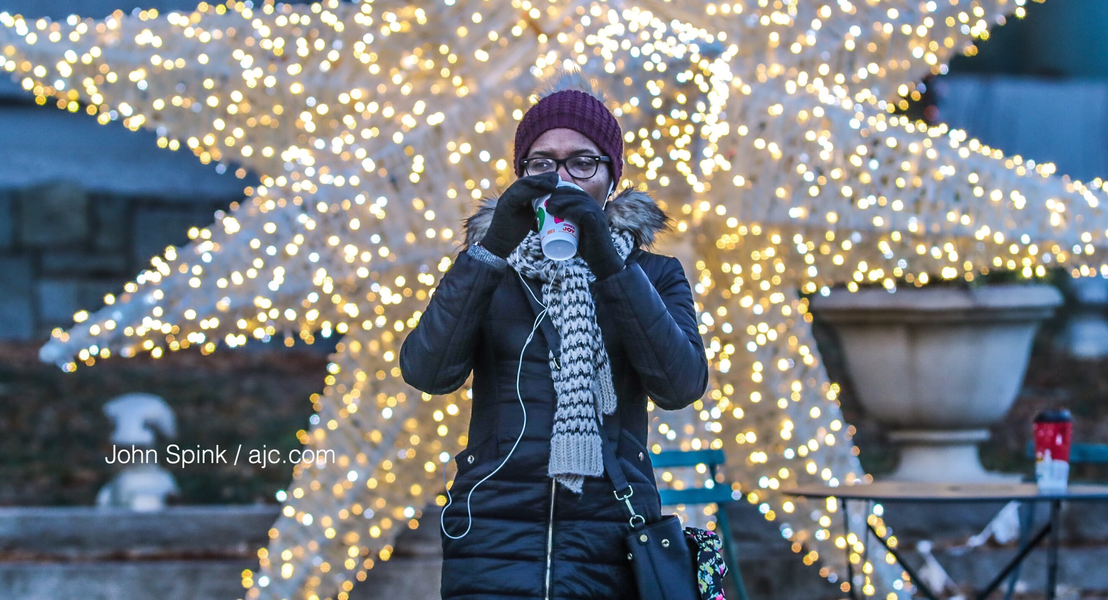
Temperatures warmed considerably since this morning, but it still feels like 34 degrees outside, according to Channel 2 Action News. High winds have contributed to a bitter chill in the air since early Wednesday, making Atlanta feel about 5 to 10 degrees colder than the North Georgia mountains.
Atlanta reached a high of 43 degrees, and it’s already beginning to cool. It’s 40 degrees now.
Clear and turning cold. Sunset at 5:29 then a hard freeze tonight.
— Brad Nitz (@BradNitzWSB) December 5, 2018
I'm live on @wsbtv now. pic.twitter.com/w4nX3LPIn6
“It’s going to be a cold day with winds up to about 15-20 mph, so it is going to make these temperatures feel like it’s in the 30s all day,” Channel 2 meteorologist Karen Minton said.
In preparation for a chilly night, the city opened a warming center at the Old Adamsville Recreation Center at 3404 Delmar Lane at 6 p.m.
Minton said temperatures should start falling back into the 30s by the evening. Thursday morning will be even colder, she said.
Most of North Georgia is expected to wake up to numbers in the mid-20s Thursday, according to Channel 2. But with no rain in the forecast through Friday, there is no concern for any slick conditions on the roads through the rest of the work week.
The rain returns for the weekend, Minton said, with a 90 percent chance Saturday and a 60 percent chance Sunday.
“We stay above freezing on Saturday and Sunday, but we still have to keep an eye on those northeast counties for the potential of some winter mix this weekend,” she said.
Data this morning still shows sleet and freezing rain changing to snow in the NE Georgia mountains. Some of this may affect the northern and northeastern metro area.
— Brad Nitz (@BradNitzWSB) December 5, 2018
As colder air moves in some light snow is possible Monday. pic.twitter.com/hs3ryewnAQ
Minton said it is still too early to tell if freezing rain, sleet or snow will come to northeast Georgia, maybe even to parts of metro Atlanta. Different weather models show the possibility for wintry mix, while others do not, she said. As of Wednesday morning, it looks a little more likely.
“Right now it’s back to the potential for some winter precipitation,” Minton said.
MORE: Wintry mix back in the forecast as North Georgia looks toward cold, wet weekend
While much of North Georgia will just see cold rain, the areas to the far north are the most likely to see a wintry mix, according to the latest forecast. The potential for freezing temps and winter precipitation begins Saturday with the rain and carries through to Monday morning.
“This could change a lot,” Minton said. “It’s just Wednesday, so there is a lot of time for the main ingredients of the storm to come together.”

» For updated traffic information, listen to News 95.5 and AM 750 WSB and follow @ajcwsbtraffic on Twitter.
» Download The Atlanta Journal-Constitution app for weather alerts on-the-go.
About the Authors


Zachary Hansen, a Georgia native, covers economic development and commercial real estate for the AJC. He's been with the newspaper since 2018 and enjoys diving into complex stories that affect people's lives.