Prepare now for temps in the low teens by Thursday morning

After a wet first weekend of 2015, the first full work week of the New Year will see temperatures cold enough to cause serious harm to plants, pipes and pets.
The cooldown, Channel 2 Action News chief meteorologist Glenn Burns says, will start Wednesday afternoon as cold Arctic air arrives. It will bring temps down to freezing around 5 p.m. as commuters head home.
The mercury will continue to shrink Wednesday night, dipping to the mid-teens early Thursday, with afternoon highs expected to barely reach the 30s. Luckily, no wet or frozen stuff is expected to come down with those low temps.
“Yes, this is true Arctic air coming in from the far reaches of northern Canada. When cold Arctic air moves in, it generally brings maybe just some clouds, but not a lot of precipitation,” Burns said.
Georgia’s higher elevations are expected to see even lower temperatures with the arrival of the Arctic air. National Weather Service meteorologist Adam Baker says the northern portion of the state could see single-digit temps.
“One could argue that portions of Georgia could have about as cold conditions that the Southeast will see, while other portions will be more in the teens,” Baker said, adding that wind chills in those northern areas could dip to around 10 below zero, while other parts of the state will see slightly higher wind chills near zero.
As cold as Thursday’s temperatures will be, they will still be almost balmy compared to the frigid blast that hit Atlanta a year ago this week. Atlanta’s low on Jan. 7, 2014, was 6 degrees, and the high that day was 26.
Temperatures in metro Atlanta will start in the upper teens to low 20s early Friday before climbing into the low to mid-40s during the afternoon.
Before temperatures slide below the freezing mark, they will reach highs in the low 50s Tuesday and high 30s Wednesday, with morning lows in the low 30s each day.
Georgians likely will appreciate their local weather conditions compared to those in cities across the country. The Midwest, for instance, could soon see the tail end of a storm that may dump as much as 6 inches of snow on Chicago by early Tuesday. That city is expected to warm to a high of 16 degrees Tuesday before temperatures plummet to as low as 10 degrees below zero Wednesday morning and no higher than 5 degrees the rest of the day.
Residents in North Dakota and Minnesota have definitely felt the cold, as wind chills between negative 25 and negative 50 degrees hit Monday morning.
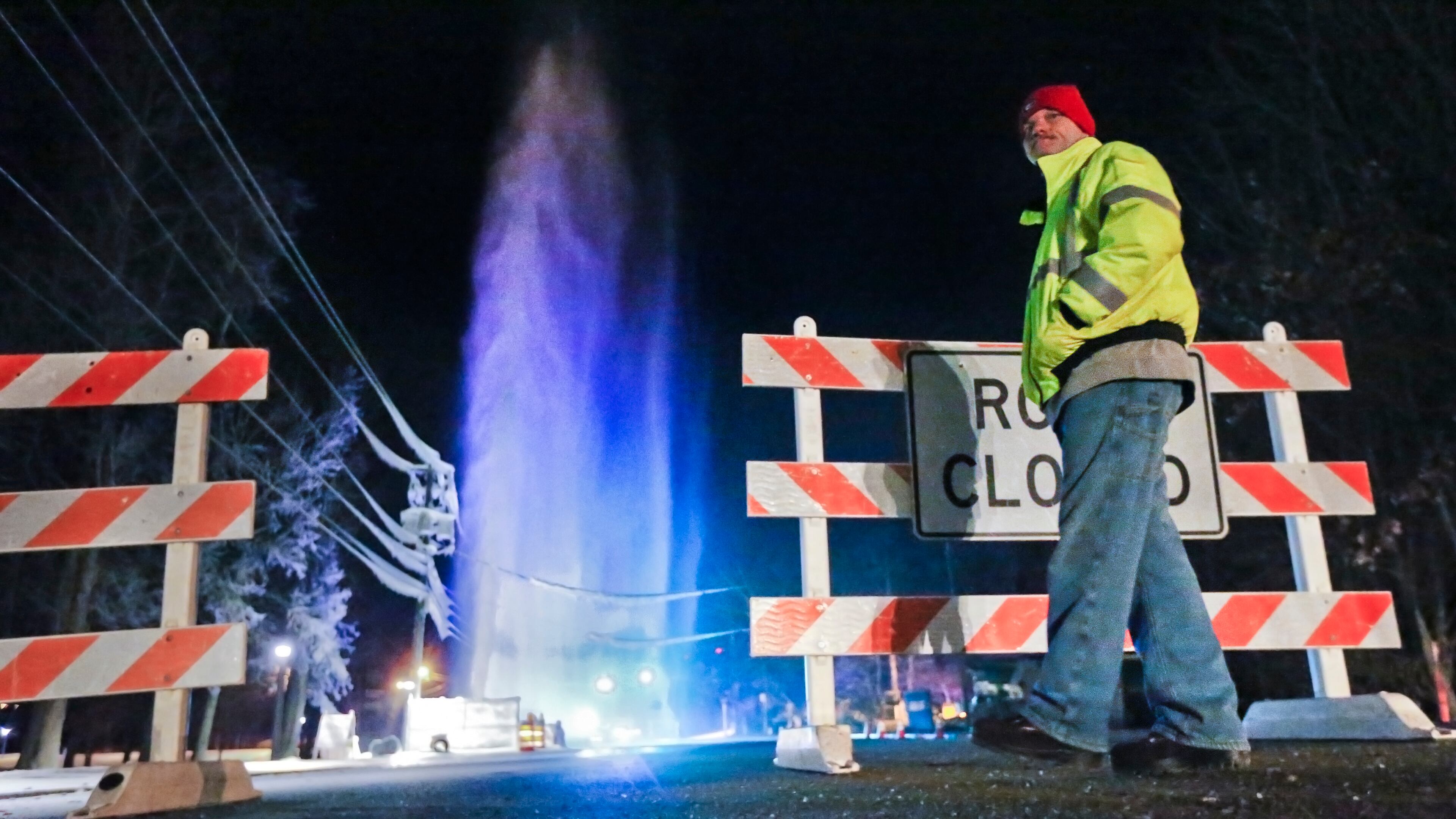
Local gardeners, homeowners and pet owners should use the next couple of relatively warm days to prepare for the Arctic air mass. For pipes, that means knowing the location of shut-off valves in case a pipe bursts, opening kitchen and bathroom cabinets so warmer air can circulate below the sinks and allowing a small trickle of water to run overnight Wednesday night.
Gardeners should bring smaller container plants indoors and cover outdoor plants with straw, blankets or cardboard. Also, automatic sprinklers should be turned off.
For pet owners, it’s best to keep all pets indoors when temperatures plummet into the teens.
Click here for more tips for weathering the cold.
Information from the Associated Press was used in this report.

