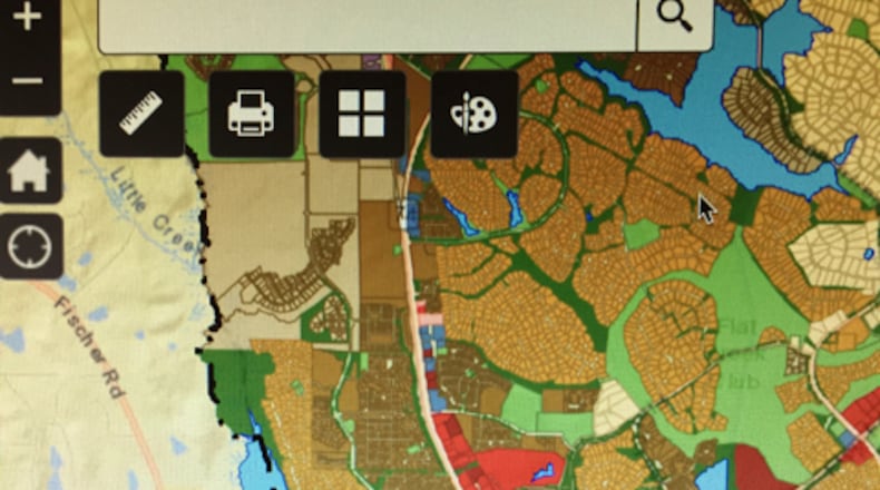
Anyone interested in knowing zoning details about individual properties in Peachtree City can now use an online map.
Available at www.peachtree-city.org/1236/Zoning-Map, the page lets users enter a street address to determine the property’s zoning district and parcel number. Clicking on the “More Info” link goes to the municipal page outlining the definitions, permitted uses and conditional uses of that zoning category, including what types of homes and accessory structures are allowed, parking restrictions and sewage disposal systems. The site also notes the number of dwelling units permitted per acre and the lot dimensions with setback requirements.
Users must agree to a disclaimer stating that “maps and data are to be used for reference purposes only” and that the map information “is believed to be accurate but accuracy is not guaranteed.” The map is color-coded to allow users to see a complete zoning overview of the city, and click on an individual parcel to determine its current zoning status.
About the Author
The Latest
Featured


