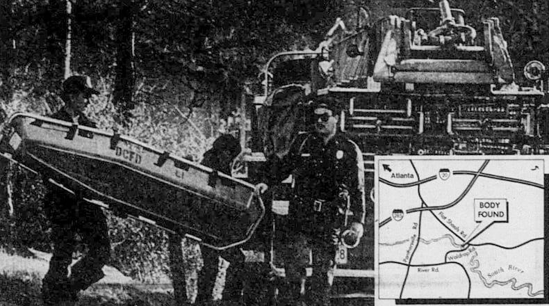
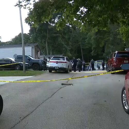
In 1982, Wayne Williams was convicted of killing two adults, but police linked him to the deaths of over 20 Atlanta children and teens from 1979-81. This map details various locations associated with the Atlanta Child Murders in and around the metro area.
HOW TO USE THIS MAP: Click on any icon shown below for more information. To view the list of icon keys, as well as the victims’ names, click on the box icon to the left of the map title (”Atlanta Child Murders”). To zoom in, click the “plus” icon at lower left; to zoom out, click the “minus” icon. To share this map, click the first icon in the upper right corner. To view a full-screen version of the map, including the master list of names and icons, click on the second (box) icon in the upper right corner.
Please report any omissions or inaccuracies to Mandi.Albright@ajc.com.
ONLINE EXCLUSIVES: Main story | Victim profiles | Case chronology | 1981 Special Report | Complete coverage
About the Author
Keep Reading
The Latest
Featured


