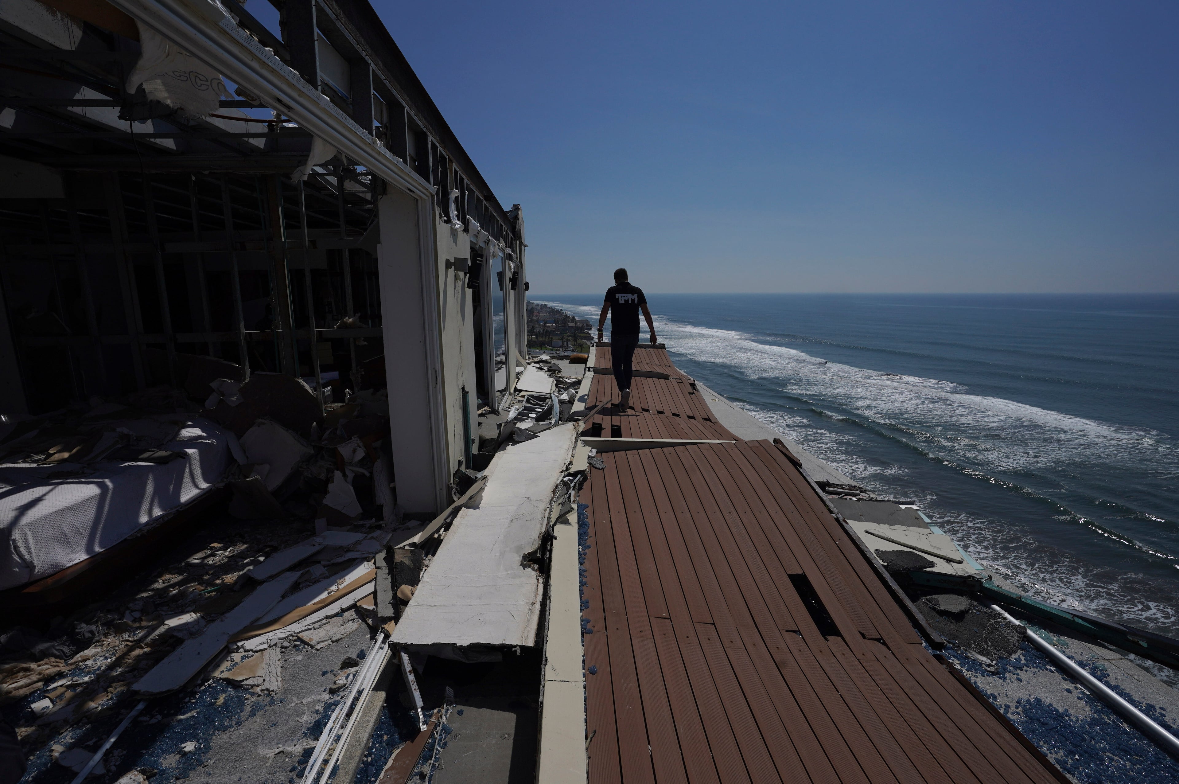
Record number of storms forecast ahead of 2024 hurricane season

The federal government warned Thursday it expects an extremely active hurricane season, with exceptionally hot ocean temperatures and other factors setting the stage for a potentially record-setting number of storms to form in the Atlantic Basin this year.
The National Oceanic and Atmospheric Administration (NOAA) expects between 17 and 25 named storms to form during the upcoming hurricane season, well above the average of 14 storms seen over the last 30 years. Of those, eight to 13 storms are forecast to become hurricanes, with four to seven expected to grow into “major hurricanes” with sustained winds of 111 miles per hour or greater.
The number of storms the agency forecast is the most it has ever predicted ahead of a hurricane season, which officially begins on June 1.
NOAA said all of the ingredients for powerful storms to develop will be in place during the heart of the season.
Near-record warm ocean temperatures in the Atlantic Ocean and Caribbean Sea — the primary zone for hurricane formation — are already present and show no signs of abating. In the coming months, the current El Niño conditions in the tropical Pacific Ocean are expected to swing rapidly toward its opposite state, La Niña.
La Niña tends to tamp down on the kinds of high-altitude, westerly winds that can keep tropical storms from forming in the Atlantic.
Finally, NOAA predicts an above-normal west African monsoon season, which likely means more tropical waves blowing off the continent capable of seeding powerful storms.
“It’s not just one factor,” said Ken Graham, the director of NOAA’s National Weather Service. “Everything has to come together to get a forecast like this.”
Last year’s hurricane season was also very active, with the fourth-most named storms on record since 1950. Three of those grew into major hurricanes, but only one made landfall on the U.S. coastline. Still, tropical storms caused between $3 and $4 billion in damage last year.
The most powerful storm to strike the U.S. in 2023 was Hurricane Idalia. The storm made landfall on Aug. 30 in Florida’s Big Bend Region as a Category 3 hurricane, before pushing into South Georgia. Still packing sustained winds of 90 mph as it moved through Georgia, Idalia uprooted thousands of pecan trees and leaving fields of cotton a twisted mess.
The destruction on farms across a wide swath of rural South Georgia prompted a disaster declaration from the federal government for a primary, 27-county area, plus 20 other surrounding counties.
Fortunately, Georgia’s coastline has not taken a direct hit from a major hurricane in well over a century. Still, several storms in recent years that made landfall on the Atlantic and Gulf Coasts have managed to cause serious damage in the Peach State.
In addition to Idalia, Hurricane Michael first came ashore in 2018 on the Florida Panhandle, before churning north through Georgia, causing billions of dollars in property damage and crop losses.
Climate change is also tipping the odds in favor of more destructive storms.
Global sea levels are rising, meaning storm surge can more easily swamp coastal areas and push farther inland. Warmer air temperatures also mean storms capable of dumping more rain in a short period of time, increasing flood risk. Rising ocean temperatures are also likely fueling the “rapid intensification” of more storms.
Even if Georgia avoids a brush with a major storm, the impacts of an extremely active season could still be felt in the state.
On Wednesday, the federal Energy Information Administration warned the large number of storms anticipated could impact oil and natural gas prices. Most of the country’s oil and gas production is concentrated on the Texas and Louisiana Gulf Coast, but the low-lying region — and its many offshore rigs — are very susceptible to storm impacts, like flooding and high winds.
NOAA Administrator Rick Spinrad warned Thursday that now is the time to prepare for the upcoming season.
“Remember, it only takes one storm to devastate a community,” Spinrad said. “It is prudent to prepare now because once a storm is headed your way, it all happens so rapidly. You won’t have time to plan and prepare at that point.”
Earlier this month, the Georgia Emergency Management and Homeland Security Agency (GEMA/HS), participated in National Hurricane Preparedness Week to promote storm forecast comprehension and preparation tips.
“In previous years, our state has experienced devastating effects of hurricanes, tropical storms and depressions,” GEMA/HS director Chris Stallings said in a statement in early May. “That’s why we encourage our residents to take the time to prepare before the onset of hurricane season.”
A note of disclosure
This coverage is supported by a partnership with Green South Foundation and Journalism Funding Partners. You can learn more and support our climate reporting by donating at ajc.com/donate/climate/


