WEATHER-TRAFFIC: Widespread downpours make morning travel tricky
Rain, rain and more rain is in the forecast Thursday.
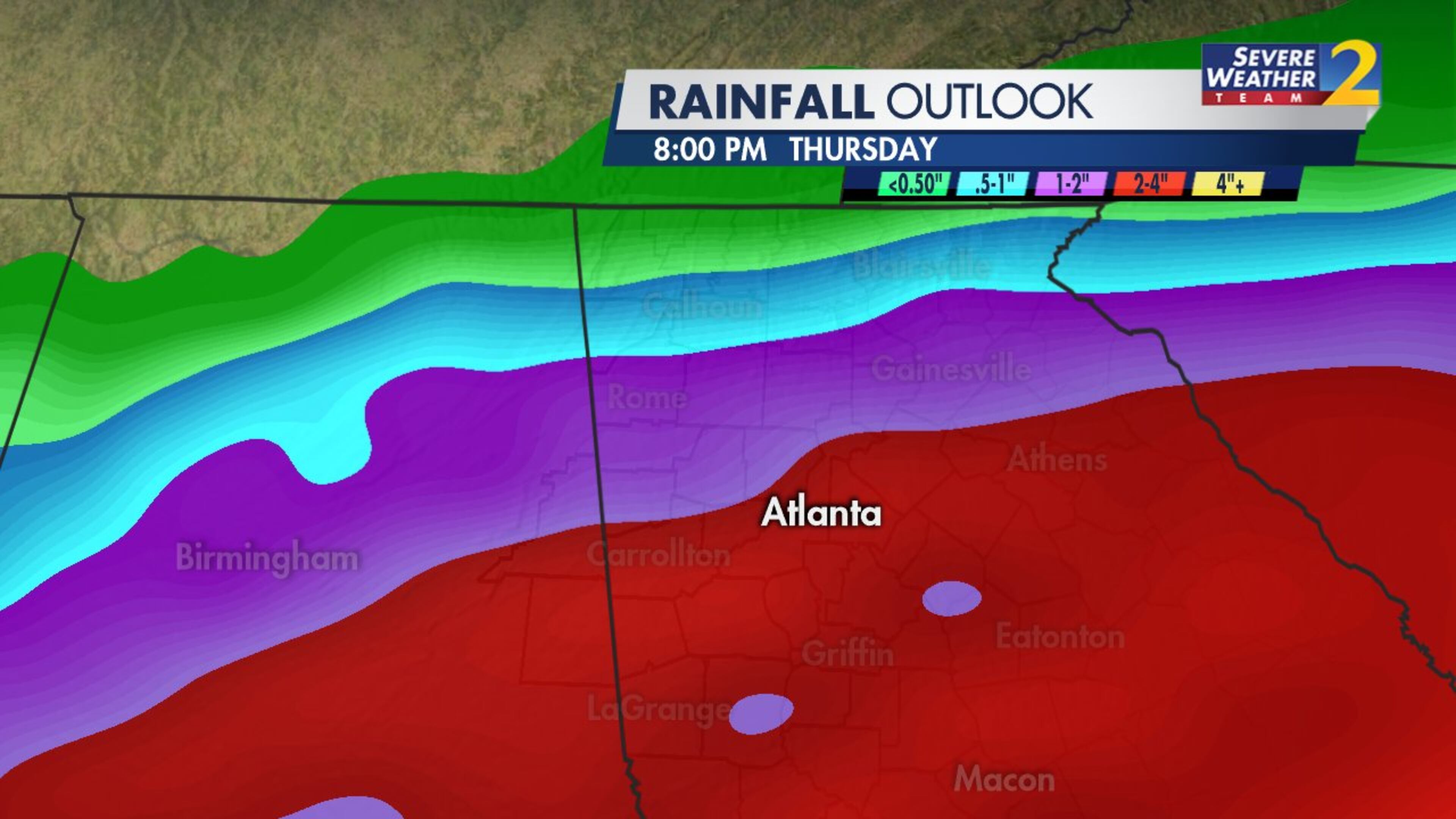
After a wetter-than-average winter and several days of showers and downpours this week, North Georgia is waterlogged. More than 2 inches of rain have fallen in spots in the past 24 hours, and the region could pick up an additional 1 to 2 inches before the day is over, according to Channel 2 Action News.
A flash flood watch remains in effect for metro Atlanta and areas to the south through 7 p.m. Thursday.

When will the rain go away? As early as this afternoon, Channel 2 meteorologist Brian Monahan said.
“After about 1 p.m, steady rain tapers to showers, and by late tonight we're starting to clear out,” he said. “That’s going to set the stage for a nice weekend across North Georgia.”
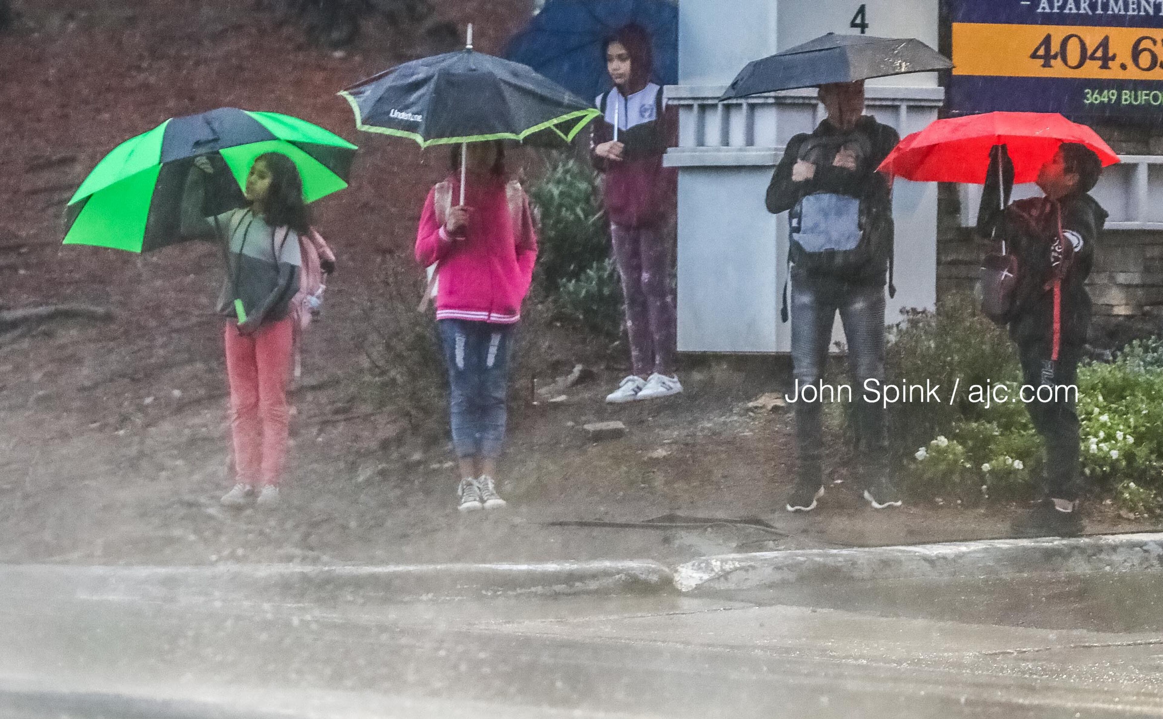
It is pouring across much of North Georgia as the morning commute gets underway. The heaviest rain is sliding to the east of Atlanta, but Monahan said there are more waves of downpours headed across the Alabama border.
Areas in far North Georgia have not seen much rain from this system, and that will continue to be the case Thursday. Monahan said the heavier stuff is staying south of the mountains.

“It’s wet, it’s stormy, and at times there could be a few rumbles of thunder this morning,” he said. “And temperatures don’t move very much. We’ll be around 50 degrees as we head between now and lunchtime today, with rain chances staying on the high side through noon.”
After that, the rain chances start to come down. While the rain impact to travel will be high for the morning and lunchtime drives, Monahan said the impact lessens for the ride home from work.
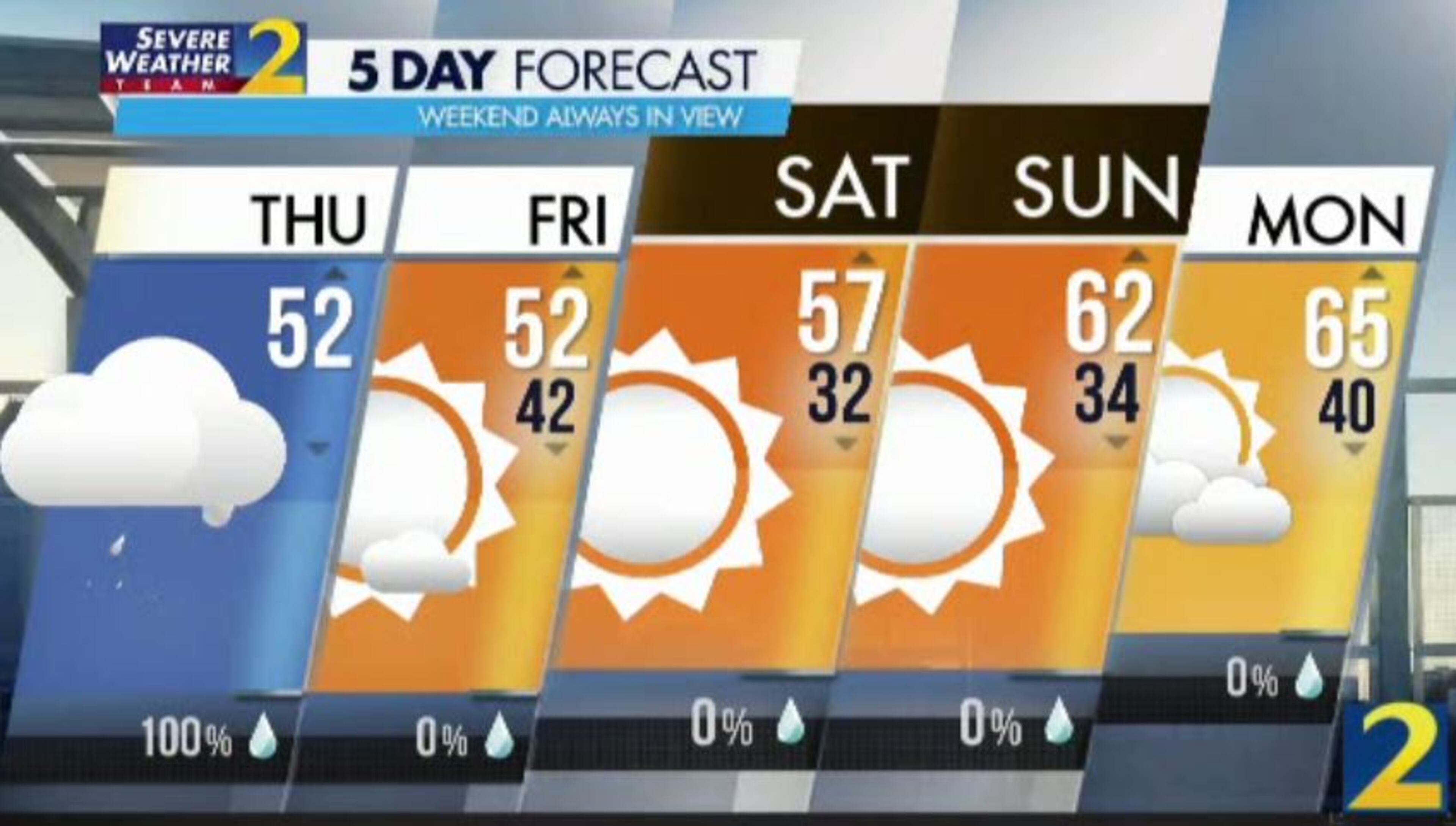
It’s a whole different story Friday, which should get lots of sunshine and afternoon highs in the low 50s, according to Channel 2. Friday is the start of a much drier weather pattern that will see North Georgia into next week.
“How about this? Friday, Saturday, Sunday and Monday should all be mainly dry days across North Georgia,” Monahan said.

There’s just no way around it. Thursday has seen “a really horrible start to the rush hour,” WSB traffic reporter Mark Arum said.
“I don’t want to panic anyone at home if you're getting ready as part of your normal morning routine, but (you) might want to adjust it this morning,” he said. “Maybe see if you can wait until later to head out of the house.”
Several early crash have made a mess of things on the metro Atlanta interstate system. Arum is advising commuters to avoid I-285 if possible, as the majority of the incidents Thursday morning have occurred on the Perimeter.
There are still plenty of delays out of Gwinnett County after a jackknifed tractor-trailer was cleared from I-285 at Spaghetti Junction, according to the WSB 24-hour Traffic Center.
All I-285 inner loop lanes are now open at Chamblee Tucker Road, but traffic is jammed on I-85 South as a result of the closure, the Traffic Center reported.
» For a detailed forecast, visit The Atlanta Journal-Constitution weather page.
» For updated traffic information, listen to News 95.5 and AM 750 WSB and follow @ajcwsbtraffic on Twitter.
» Download The Atlanta Journal-Constitution app for weather alerts on-the-go.


