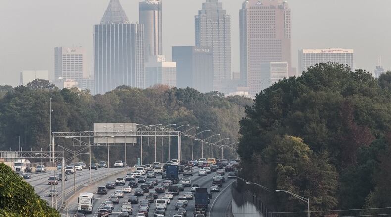
Cobb County had it worst when it came to dealing with wildfire smoke in metro Atlanta this week.
That's according to a map compiled by The Atlanta Journal-Constitution showing haze levels.
The smoke comes from the wildfires raging in North Georgia as the whole state deals with a historic drought.
From Monday at 6 a.m. to Tuesday at 1 p.m., six observation stations throughout the four-county metro Atlanta area captured smoke levels.
Cobb had some of the highest concentrations in the area from Monday 1 p.m. until Tuesday 7 a.m. — longer than any other part of metro Atlanta during the map's time frame.
Georgia imposed stiff new water restrictions on 52 counties Thursday as a worsening drought threatened the state's supply.
The largest active fire, in Rough Ridge, had burned about 24,765 acres as of Thursday.
About the Author
The Latest
Featured


