Duluth adds downtown story map to online geographic information system
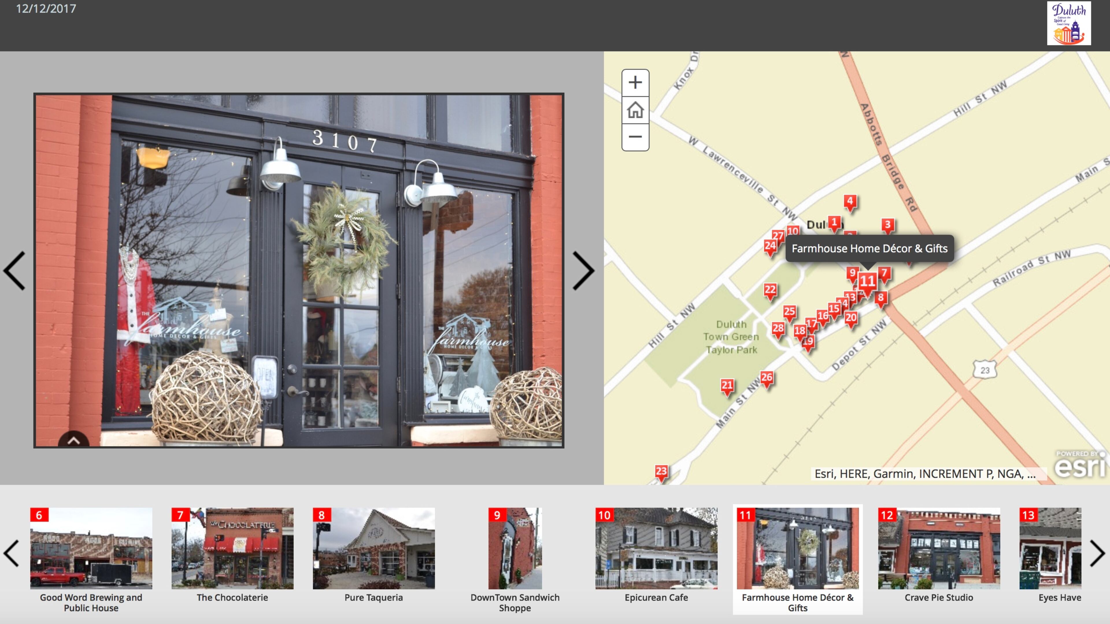
Duluth’s Community Development Department is responsible for creating, updating, and maintaining a Geographic Information System (GIS) that integrates hardware, software, and data to analyze and visualize data in the form of maps, globes, reports, and charts. The department has recently added a story map showing downtown Duluth shops, restaurants and landmarks: www.tinyurl.com/DuluthDowntown. With all the construction and new development in downtown, Duluth hopes the link showing all new businesses and where they can be found will assist residents and visiotrs and help drive business into town.
Another story map allows visitors to click on information about Duluth landmarks and points of interest. Another interactive map called a ‘parcel viewer’ contains a zoning/land use viewer and aerial photos of the city. Users can click on a parcel and get detailed information about each piece of land such as PIN number, ownership, size of the lot and land use.
A future map is planned with additional GIS information, such as water and sewer info, boundary info, topography, water features, and more.
Access to each map and additional information: www.tinyurl.com/DuluthGIS.
