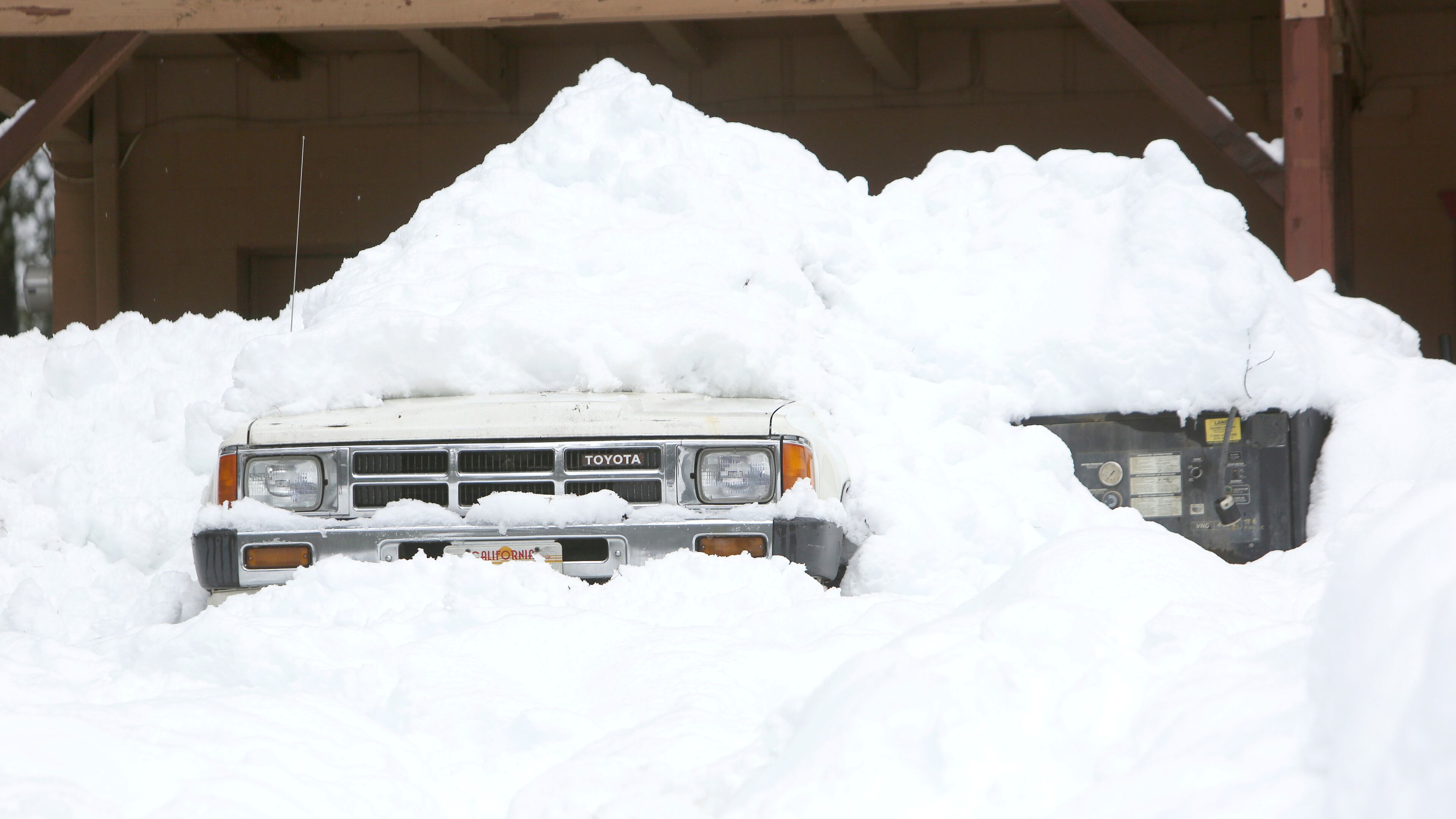
Late-winter storm to jolt much of nation on first day of spring

A late-winter storm will greet the first day of spring Thursday, bringing blizzard conditions, strong winds and heavy rain to a wide swath of the country.
Metro Atlanta may see only scattered showers and mild temperatures, according to the latest forecasts.
Throughout the region Wednesday, the weather was a mixed bag of clouds, sunshine and steady rain with a few rumbles of thunder, according to WSB-TV meteorologist Brian Monahan. Temperatures were mild in the low 70s.
Isolated showers were falling throughout the day, with temperatures reaching into the mid-70s.
Thursday morning will be wetter, Monahan said.
Thursday’s low will be about 57 degrees.
Even heavier rain is expected Friday, with a high of 70 and low of 61.
At our morning team huddle, we discuss stories that are “talkers.” People are primed to look for driving forces in the world, ones that we can explain through our collective experience. This is one example.
Temperatures are expected to drop only slightly this weekend with highs in the mid-60s and lows reaching the mid-50s, Monahan said in his forecast, adding that Saturday may be the best option to get out of the house.
Meanwhile, the larger weather system that developed Wednesday over the Southwest continues to make its way toward the Northeast.
Fresh #snow from last night across the San Bernardino mountains - here are the webcams from Blue Ridge and Green Valley Lake #cawx #CAstorm as well as Pine Cove Idyllwild pic.twitter.com/0s1C7zjoyU
— NWS San Diego (@NWSSanDiego) March 17, 2020
Heavy snow was already reported in parts of California and Nevada.
Nearly a foot of snow was expected in Flagstaff, Arizona, and the surrounding mountains, according to CNN.
The impact of the late-winter storm will be felt in "almost every state in the lower 48," said CNN meteorologist Dave Hennen.
The National Weather Service said severe thunderstorms were expected late and overnight Wednesday across parts of the southern and central Plains that could cause damaging winds, large hail and tornadoes. Heavy rain and severe storms are forecast from the southern Plains to the Ohio and Tennessee valleys.
"Scattered severe thunderstorms are expected from this AFTERNOON through TONIGHT across parts of the southern and central Plains. Severe gusts, large hail, & a few tornadoes are possible." -@NWSSPC Forecast Discussion
— National Weather Service (@NWS) March 18, 2020
Do you know where your safe place is from severe weather? pic.twitter.com/QRnXYt8JW9
“Much of the central and eastern U.S. will start to heat up through the end of the week with temperatures climbing well above normal, especially across the east coast. Enjoy it while it lasts! A fairly chilly airmass will settle in through the weekend before moderating next week,” the agency tweeted.
Much of the central and eastern US will start to heat up through the end of the week with temperatures climbing well above normal, especially across the east coast. Enjoy it while it lasts! A fairly chilly airmass will settle in through the weekend before moderating next week. pic.twitter.com/KubfFX729c
— NWS WPC (@NWSWPC) March 18, 2020
Severe storms were possible for the second day in a row across Texas and Oklahoma, CNN reported.
On Thursday, the heaviest snow is expected in the central portions of the country.
“By Thursday morning, blizzard conditions will spread through parts of the Rockies into the Plains, with heavy snow and high winds,” Hennen said, according to CNN.
By Friday, there will be a stark difference between temperatures on the north side of the storm and the south side, which will split the country in half, CNN reported.
“Late-winter storms are nothing new,” said CNN meteorologist Chad Myers, “but they differ from mid-winter events due to the increased moisture content in the slightly warmer late-season air. They have much more potential to put down that very heavy ‘snowman’ snow to the north and create severe storms, including tornadoes, to the south.”

