Morgan Falls Connector Trail in Sandy Springs seeks encroach on state water buffers
The public has until Dec. 20 to comment on a requested variance to encroach within 25 feet of the state waters buffer for the Morgan Falls Connector Trail in Sandy Springs.
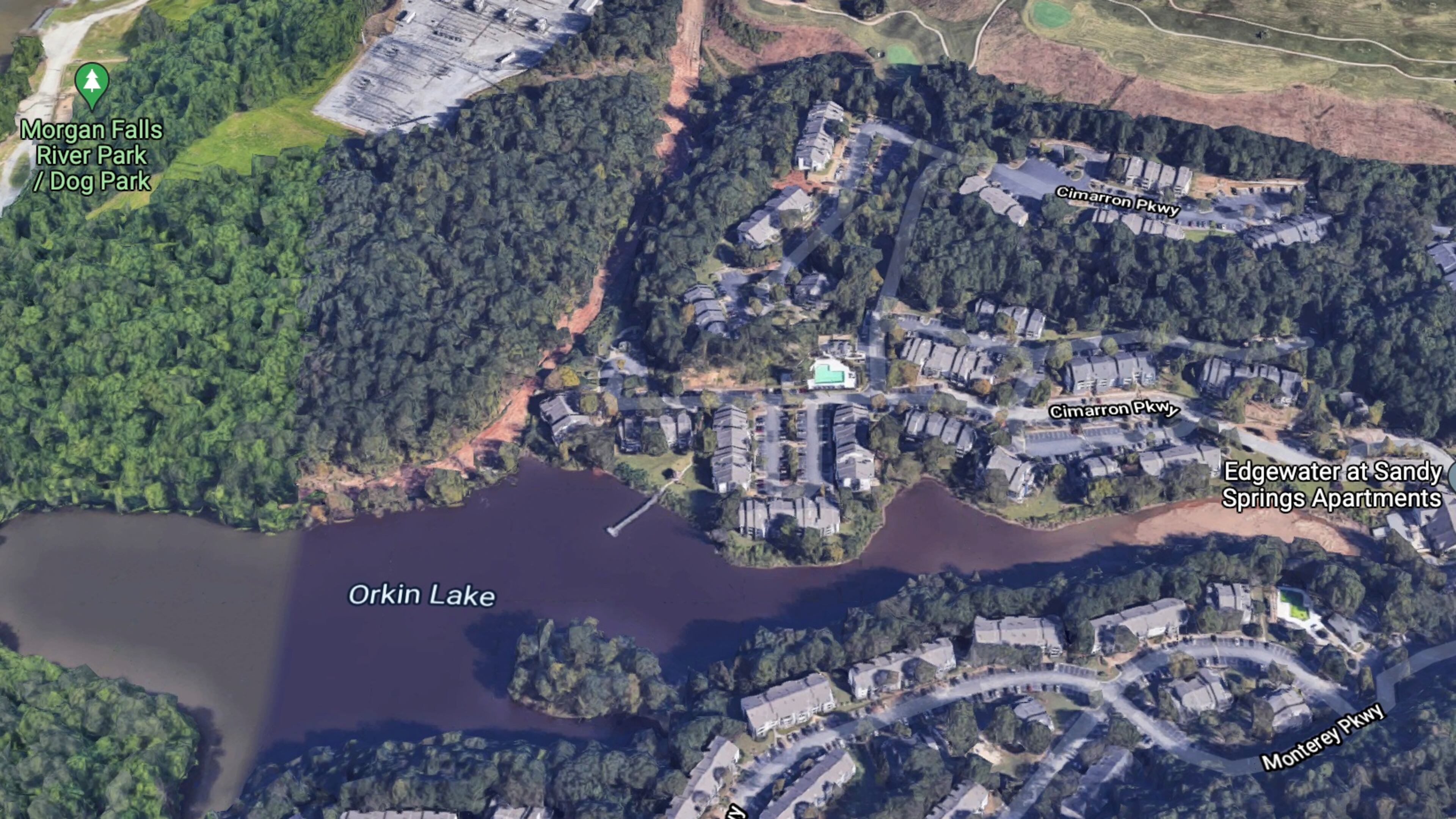
The project would impact a total of 2,012 linear feet of stream buffer along Orkin Lake and an unnamed tributary to Orkin Lake. The proposed plan begins on Cimarron Parkway off Trowbridge Road.
Construction will impact five separate areas for a 12-foot-wide recreational trail with pervious surface, and one area for 202 cubic yards of soil removal along Orkin Lake for flood volume control.
Once construction has been completed, the stream buffers will be re-planted with a native riparian canopy of non-invasive species.
Site Plans are available for review and at the Environmental Protection Division office: Watershed Protection Branch, 200 Piedmont Avenue, S.W. Suite 418 West, Atlanta, Georgia 30334.
Contact Arnettia Murphy at 470-607-2940 or arnettia.murphy@dnr.ga.gov to schedule an appointment to review the plans.

