Cherokee, Ball Ground finalize growth boundary agreement
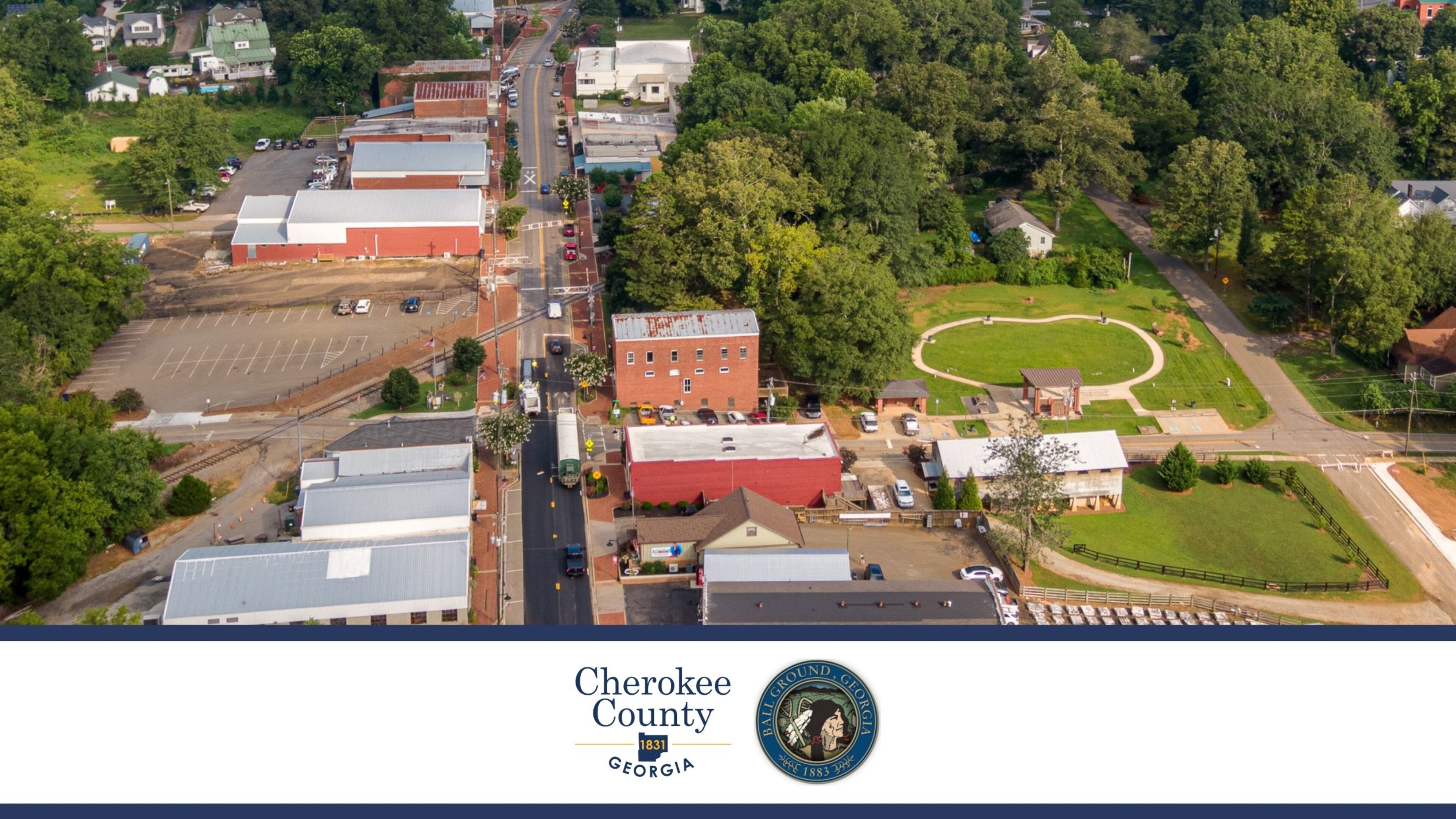
Cherokee County officials recently formed a 25-year growth boundary agreement with the city of Ball Ground, which is the first growth boundary agreement with the city since the last one expired in 2006.
A growth boundary agreement defines and limits future growth for a city.
While not legally binding, the city generally agrees to limit its annexations to areas inside the boundary, and the county generally agrees not to oppose annexations there.
During its Sept. 20 meeting, the Cherokee County Board of Commissioners unanimously approved a resolution establishing the growth boundary agreement and a memorandum of understanding with the city.
The Ball Ground City Council approved both agreements in early September.
Cherokee District 1 Commissioner Steve West said, “We now have growth boundary agreements with Canton, Woodstock and Ball Ground and one in the works with Holly Springs that we hope to finalize with them soon.”
“Re-establishing the growth boundary agreement between Cherokee County and the city of Ball Ground has been a longtime goal for Mayor (Rick) Roberts, and we are pleased to have it back in place,” said Ball Ground City Manager Eric Wilmarth.
“While the actual borders of Ball Ground may never extend to the full agreement area, any developments in those areas will have an impact on the city, and as always, development within the city will impact the county,” Wilmarth added.
The Ball Ground growth boundary encompasses an area generally around the current city limits.
Bound by the Etowah River on the south side and Sharp Mountain Creek on the west side, the growth boundary extends northeast to the intersection with I-575 and Ga. 372.
From there, the growth boundary sweeps east, generally following Reavis Mountain Road to Cherry Grove Road on the east side, then traveling southwest to Conns Creek Road and back down to the Etowah River.
Information: cherokeega.com