Expanding Atlanta's I-285: a history

As The Atlanta Journal-Constitution reported last week, the Georgia Department of Transportation is rolling out its plans for toll lanes along the top of the Perimeter at a series of public meetings. The agency plans to build two new toll lanes in each direction from Paces Ferry Road in Cobb County to Henderson Road in DeKalb County.
It’s the latest effort to address traffic on one of the busiest stretches of highway in the Southeast. Those efforts have spanned several decades. Here’s a look at the history of the top end of the I-285, according to GDOT:
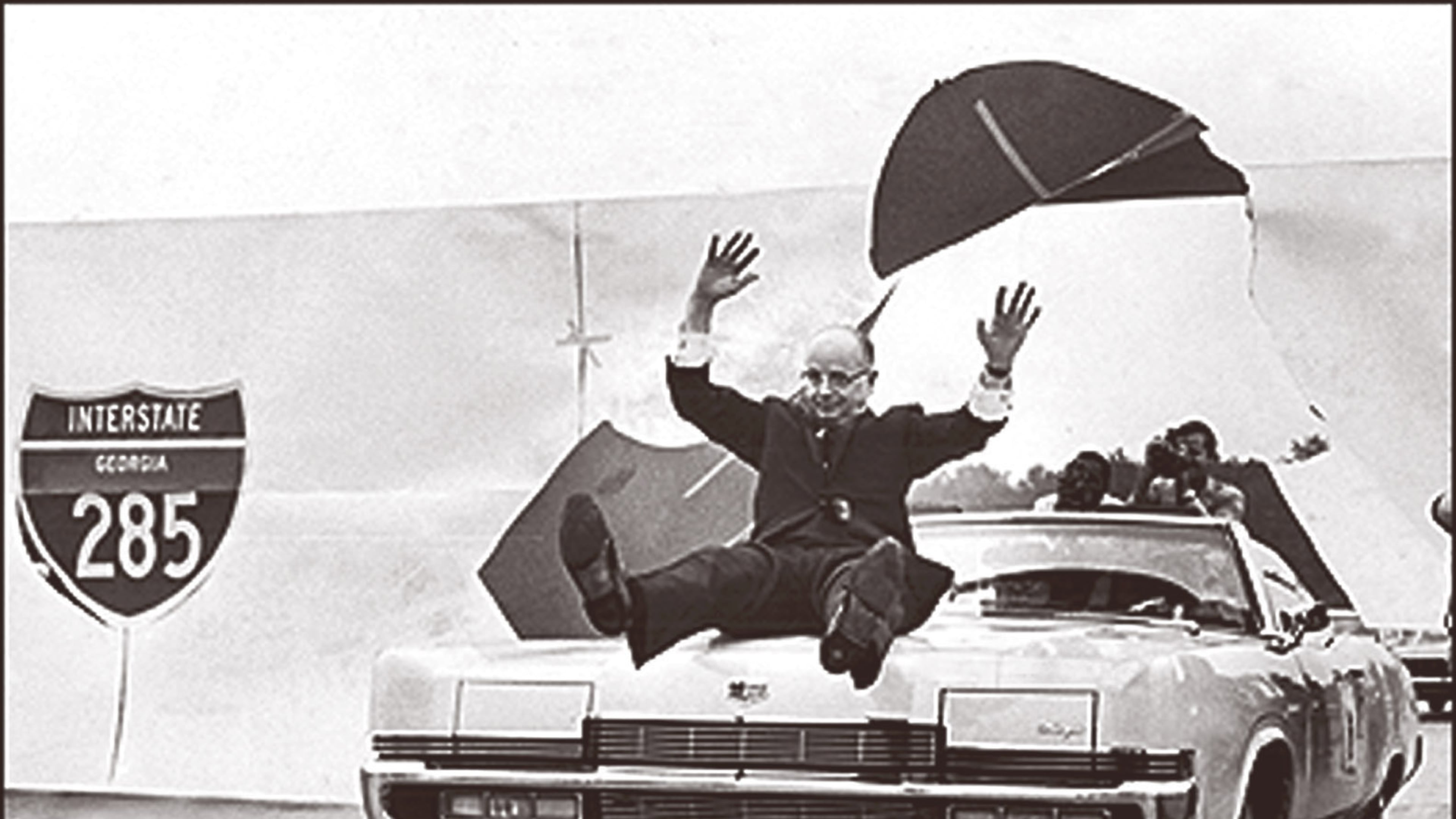
*1969: I-285: I-285 opened with two lanes in each direction.
*1989: I-285 corridor widened to four lanes in each direction.
*1996: I-285 corridor widened to five lanes in each direction.
*2012: I-285 interchange at Ashford Dunwoody Road converted to a diverging diamond interchange.
*2013: State Transportation Board and Atlanta Regional Commission adopted a strategy of using toll lanes to address traffic congestion across the region.
*2015: General Assembly raised gas taxes and other revenue to pay for road and bridge construction.
*2016: Gov. Nathan Deal announced toll lanes on I-285 are part of a 10-year, $10 billion plan to improve Georgia highways.
*2017: Construction began on a new I-285 interchange at Ga. 400. The work should be completed by late 2020 or early 2021.
*2019: Mayors of cities along the top half of I-285 study transit options for the corridor, including bus rapid transit in the toll lanes.
*2019: GDOT moves forward with plans for express lanes on the top half of the Perimeter. You can learn more about those plans here.
Related: Flashback photos: I-285 through the years
Meanwhile, GDOT continues a series of public meetings about its plans for toll lanes on the top of the Perimeter this week. The remaining meetings are:
*Noon to 2 p.m. Wednesday May 22 at the Hilton Atlanta Perimeter Suites, 6120 Peachtree Dunwoody Road, Sandy Springs.
*6 to 8 p.m. Wednesday May 22 at Dunwoody City Hall, 4800 Ashford Dunwoody Road NE, Dunwoody.
*6 to 8 p.m. Thursday May 23 at Brookhaven City Hall, 4362 Peachtree Road, Brookhaven.