WEATHER ALERT: Hurricane Ian makes landfall in South Carolina
Two days after it tore a destructive path through Florida, Hurricane Ian has made landfall in South Carolina.
The storm struck the coast near Georgetown, South Carolina, as a Category 1 hurricane Friday afternoon with maximum sustained winds of 85 mph, according to the National Hurricane Center.
Meanwhile, conditions in coastal Georgia continue to improve. The NHC has canceled all watches and warnings for areas near Brunswick, but tropical storm warnings remain in effect near Savannah.
Ian will have “very limited impacts” for North Georgia, Channel 2 Action News meteorologist Brian Monahan said.
“We’re just not going to see much in the way of rain from Hurricane Ian,” he said. “That should mainly stay off to our east, and our best chance of rain today will mainly be after dark.”

There is certainly a lot of rain associated with the tropical system, but it is too far to the east to make much impact locally, he said. Ian is expected to bring up to 8 inches of rain and a storm surge of up to 7 feet to coastal South Carolina after the megastorm caused catastrophic damage in Florida and left people trapped in their homes.
Ian had come ashore Wednesday on Florida’s Gulf Coast as a monstrous Category 4 hurricane, one of the strongest storms ever to hit the U.S. It flooded homes on both the state’s coasts and knocked out electricity to 2.6 million Florida homes and businesses — nearly a quarter of utility customers. Some 2.1 million of those customers remained in the dark days afterward.
At least seven people were confirmed dead in Florida — a number that was likely to increase as officials confirm more deaths and continue searching for people. Three others were reported killed in Cuba after the hurricane struck there Tuesday.
Conditions should continue to improve for coastal Georgia now that Ian has made landfall, allowing the storm to weaken and move inland over South Carolina, according to the Hurricane Center. There are little to no additional impacts expected from wind or storm surge, but coastal flooding remains a concern.
Moderate to major flooding is most likely south of the state line in northeast Florida.
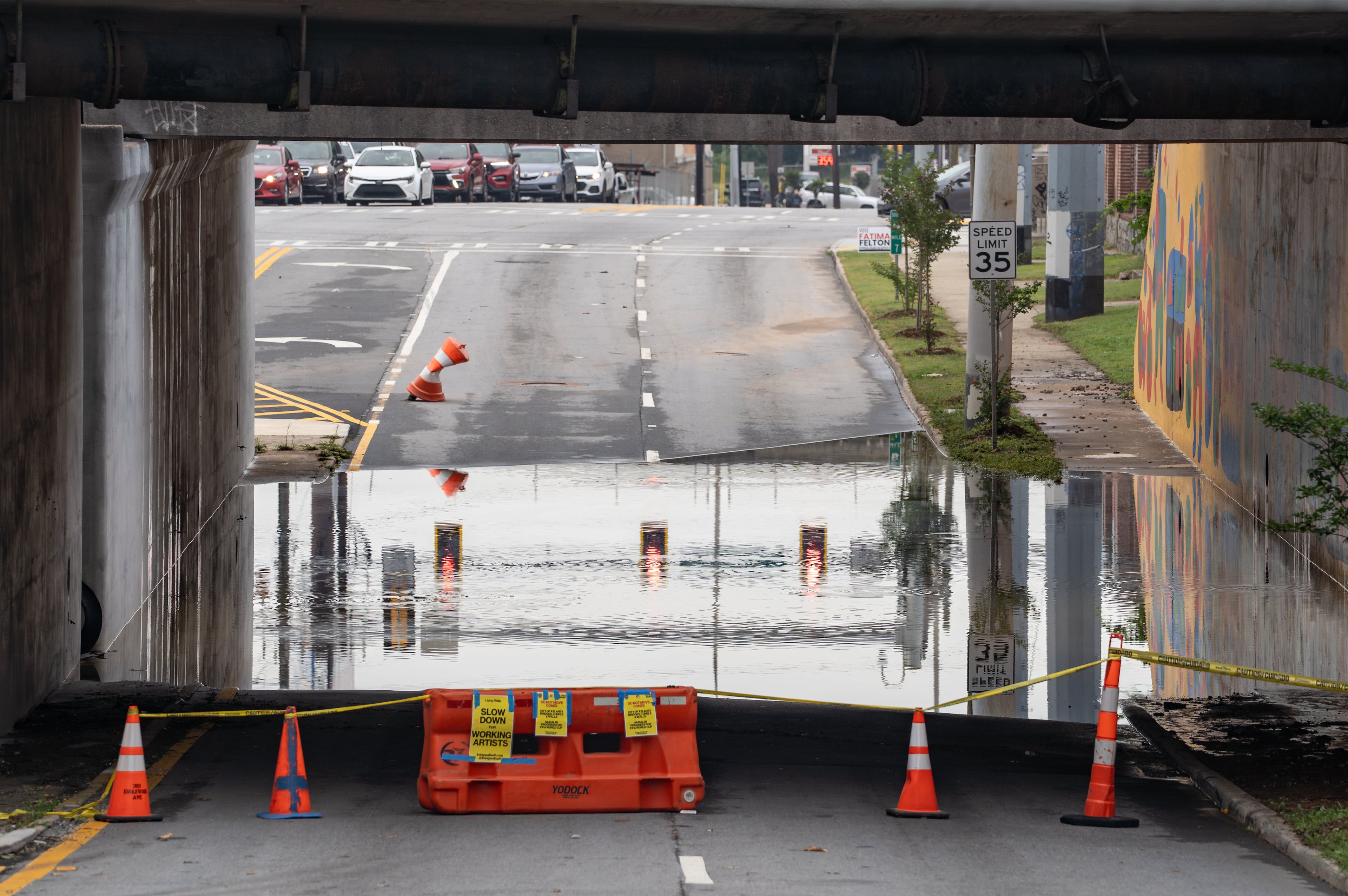
In North Georgia, Ian’s main impact will be strong winds. A wind advisory issued for the eastern part of the region remains in effect until 8 p.m. Friday, with gusts up to 40 mph possible. Tropical storm warnings have also been issued for Georgia counties near the South Carolina line.
The gusts “could be enough to snap some small limbs, maybe bring down some power lines in a few spots, but certainly something, for the most part, we can handle,” Monahan said.
Most of North Georgia, including metro Atlanta, will see a mix of sun and clouds for a breezy and cool Friday afternoon. Temperatures are expected to top out in the lower 70s to mid-70s.
The region will turn cooler Saturday, with highs in the 60s, but should stay mostly dry through the weekend as Ian’s rain bands pull away to the northeast, according to Channel 2.

— The Associated Press contributed to this report.
» For a detailed forecast, visit The Atlanta Journal-Constitution weather page.
» For updated traffic information, listen to News 95.5 and AM 750 WSB and follow @ajcwsbtraffic on Twitter.
» Download The Atlanta Journal-Constitution app for weather alerts on-the-go.
About the Author