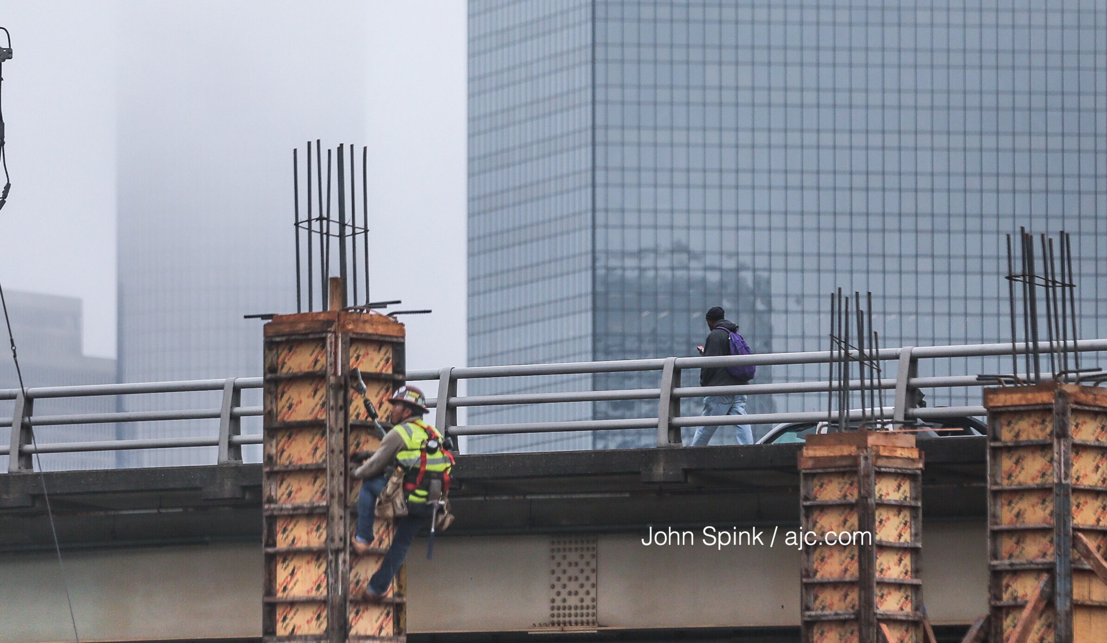
WEATHER-TRAFFIC UPDATE: Congestion picks up ahead of overnight storms
ATLANTA FORECAST
Monday: High: 70
Monday night: Low: 63
Tuesday: High: 75
» For a detailed forecast, visit The Atlanta Journal-Constitution weather page.
The roads are getting busier and busier as the sky gets darker and darker over metro Atlanta ahead of expected overnight storms, according to Channel 2 Action News.
Sunset today is 5:42 pm EST.
— Brad Nitz (@BradNitzWSB) November 5, 2018
I'm tracking showers and storms to start Election Day now on @wsbtv. pic.twitter.com/vLu12mJ3v4
There aren't too many bad wrecks around metro Atlanta, but I-285 and the Northern Perimeter are congested as the evening commute remains in full swing, according to the WSB 24-hour Traffic Center.
The only notable wreck is in north Fulton County. Johns Creek police tweeted that a wreck on Ga. 141 at Abbotts Bridge Road has left only one southbound lane open, and traffic is building fast.
MVA at SR 141 and Abbotts Bridge RD has one SB lane of SR 141. Heavy traffic SB as we wait for the wreckers. #ATLTraffic pic.twitter.com/Xr6SOsQ2O0
— Johns Creek PD (@JohnsCreekPD) November 5, 2018
Storms are expected to make their way into the state overnight, according to Channel 2.
We'll have some peaks and glimpses of sun later today across north Georgia... the storm threat ramps up overnight tonight into the first half of the day #ElectionDay.@BradNitzWSB is updating the forecast at noon on Channel 2. @wsbtv
— Brian Monahan, WSB (@BMonahanWSB) November 5, 2018

Northwest Georgia is at risk for severe storms after midnight Monday and into the early morning hours Tuesday, according to Channel 2.
Strong storms moving into NW Georgia early Tuesday will be weakening as they move into metro Atlanta. A strong storm is still possible, however.
— Brad Nitz (@BradNitzWSB) November 5, 2018
I'm updating the threats and timeline on @wsbtv at 5:29 pm. pic.twitter.com/Rf7o7ypuqI
“Any of these (storms) over northwest Georgia in that overnight time frame could produce some damaging winds,” Channel 2 meteorologist Karen Minton said. “There’s a risk there might be that isolated tornado. It would be brief, and it’s not going to be a widespread event.”
Much of the day Tuesday is expected to be dry, as Minton said the system shifts to the southeast and the energy fueling the storms heads north. But there is still a chance of rain Tuesday morning when Georgia voters head to the polls, according to Channel 2.
Heavy rain will move through quickly tomorrow, so the flooding threat is low. Rainfall totals will generally be 1/2 inch or less. pic.twitter.com/nweiOVyDOP
— Brad Nitz (@BradNitzWSB) November 5, 2018
The chance of rain increases to 80 percent for Election Day. By late morning Tuesday, much of the lingering rain is expected to be south of metro Atlanta.
Want to let you know, though, that #ElectionDay will NOT be a wash out. Most of the rain/storm threat will come through the first half of the day... with improving weather through the afternoon and toward poll closing time. @wsbtv
— Brian Monahan, WSB (@BMonahanWSB) November 5, 2018
Highs should stick to the mid-70s through Wednesday, according to Channel 2.
Minton said temps should drop and the rain should clear out by the weekend as a wedge of high pressure develops over North Georgia on Thursday and Friday.

» For updated traffic information, listen to News 95.5 and AM 750 WSB and follow @ajcwsbtraffic on Twitter.
» Download The Atlanta Journal-Constitution app for weather alerts on-the-go.


