Fast-moving Hurricane Gabrielle threatens the Azores with heavy rain and storm surge
MIAMI (AP) — A fast-moving Hurricane Gabrielle was expected to bring heavy rain, storm surge and large, destructive waves to the Azores islands starting Thursday night and into early Friday, forecasters said.
A hurricane warning was in effect for the all of the islands in the volcanic archipelago, which could experience dangerous conditions from Gabrielle, the Miami-based National Hurricane Center said. Forecasters warned midday Thursday that preparations for the storm should be rushed to completion.
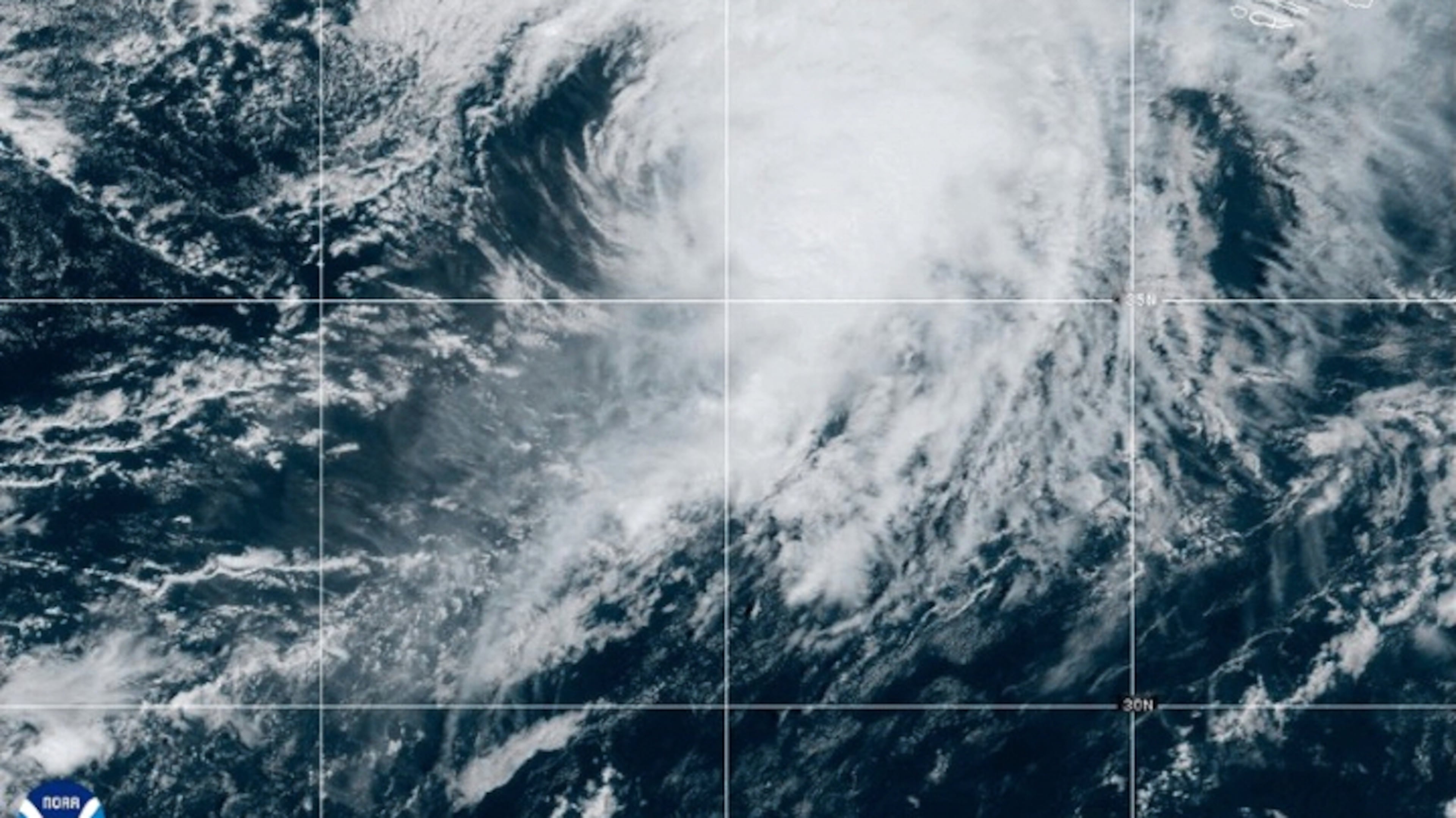
In the Northern Atlantic, Gabrielle was about 385 miles (620 kilometers) west of the Azores on Thursday afternoon. It had maximum sustained winds of 75 mph (120 kph) and was traveling to the east at 31 mph (50 kph).
Swells expected to produce life-threatening surf and rip current conditions will begin reaching the Azores later Thursday. Large waves from the storm were expected to continue to affect Bermuda, the northeastern coast of the U.S., and Atlantic Canada.
The storm is expected to be at hurricane strength as it passes through the Azores, then weaken through the weekend. Even after the storm’s center passes, forecasters warned that significant hurricane-force wind gusts are likely across parts of the islands. Remnants of the hurricane could approach Portugal on Sunday.
A dangerous storm surge accompanied by large and destructive waves is expected to produce significant coastal flooding in areas of onshore winds. From Thursday into Friday, Gabrielle may bring up to 5 inches (13 centimeters) of rain across the central Azores, which could produce flash flooding in the mountains. The eastern and western Azores could get up to 3 inches (8 centimeters) of rain.
Tropical Storm Humberto, which formed Wednesday near the Caribbean islands, was located 465 miles (750 kilometers) east-northeast of the northern Leeward Islands and was traveling northwest at 8 mph (13 kph) on Thursday morning, forecasters said. It had maximum sustained winds of 50 mph (85 kph) and was expected to become a hurricane in a day or so.
It was expected to continue strengthening to become a major hurricane over the weekend, according to Brad Reinhart, a senior hurricane specialist at the hurricane center. Currently, the forecast keeps the center of Humberto well offshore the United States, he said.
A cluster of storms located west of Humberto dropped heavy rain Thursday on the Dominican Republic. On Wednesday, the disturbance caused flooding in parts of Puerto Rico, sweeping away one car and killing its driver as he attempted to cross a bridge, authorities said. The man’s body was found Thursday in the southwestern town of Yauco.
Forecasters expect the disturbance currently over the Dominican Republic to become a tropical depression over the next couple of days near the Bahamas. There is “significant uncertainty” for its track or intensity, but the chances for impacts from wind, rain and storm surge in part of the southeastern coast of the United States are increasing, forecasters warned Thursday afternoon.
The Federal Emergency Management Agency said residents of coastal areas in the Southeast U.S. need to pay attention as the weather feature known as Invest 94L continues to develop. In a statement Thursday, FEMA said its staff “is ready to respond swiftly, if needed.”
“FEMA urges residents to prepare now,” the agency said. “People should sign up for weather alerts and follow directions from their state and local emergency management officials.”
In the Pacific, Hurricane Narda was moving away from Mexico, forecasters said. It had top sustained winds of about 90 mph (150 kph) Thursday morning. It was expected to restrengthen and could become a Category 2 hurricane again by Friday, forecasters said.
Narda was about 640 miles (1,030 kilometers) southwest of the southern tip of Mexico’s Baja California peninsula, and was moving west-northwest at 15 mph (24 kph). No coastal watches or warnings were in effect as the hurricane was expected to continue moving further offshore.
Swells generated by Narda could bring life-threatening surf and rip current conditions to some parts of coastal Mexico, forecasters said. They were expected to spread to parts of Baja California Sur on Thursday and reach southern California over the weekend.
More Stories
The Latest

