Atlanta-based firm gathers aerial imagery of areas in path of Hurricane Florence
Atlanta-based Airbus Aerial is gathering aerial imagery for insurance companies and utilities preparing to respond to Hurricane Florence.
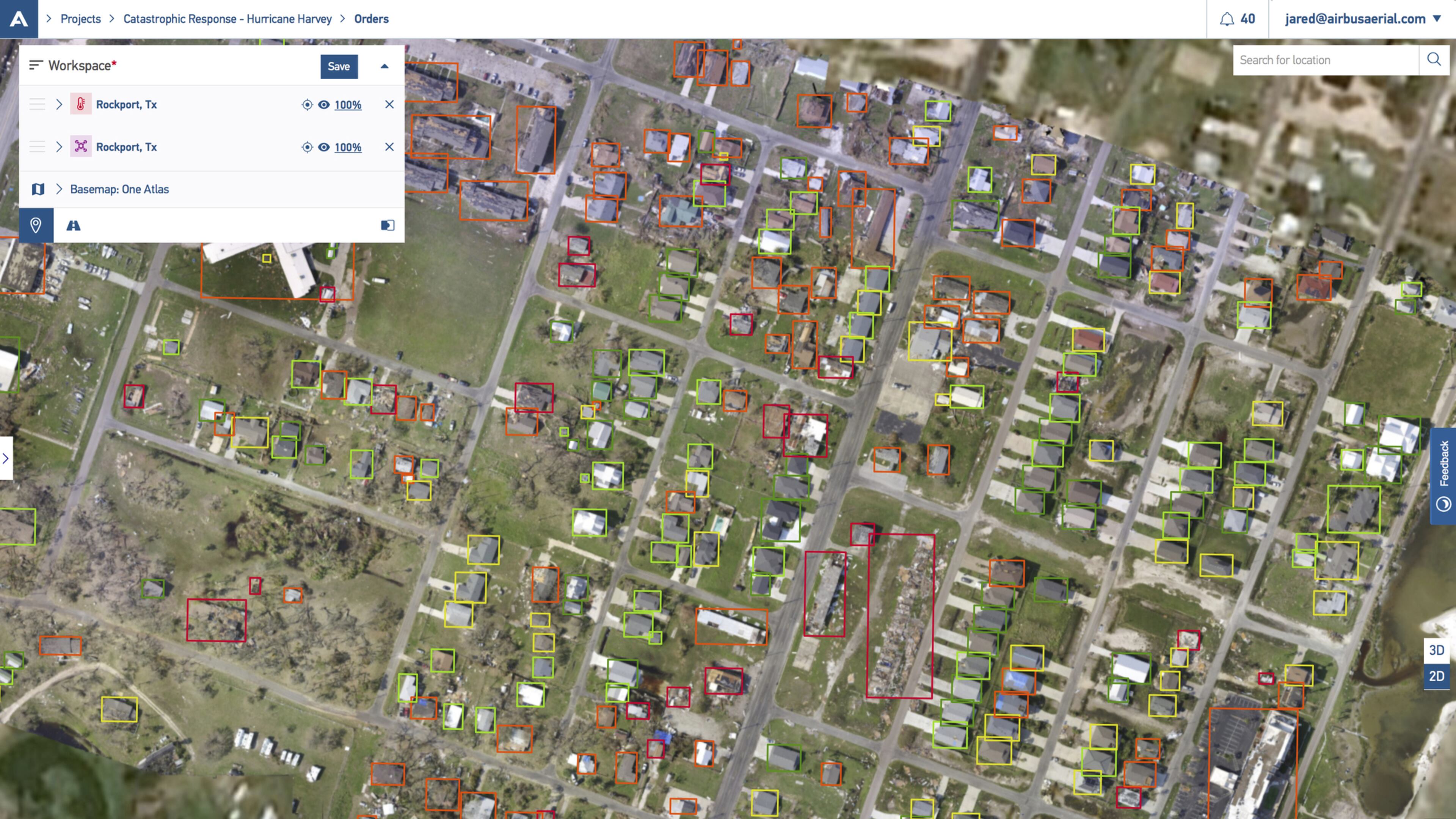
Airbus Aerial, which has its headquarters at Ponce City Market, has most of its 30 Atlanta employees working on Hurricane Florence coordination and activities, said company president Jesse Kallman.
The firm, a subsidiary of European aerospace manufacturer Airbus, sells imagery and data from drones, satellites or manned aircraft.
Leading up to the hurricane, insurance companies are interested in identifying areas “where they think they may have issues,” Kallman said. They’re interested in areas from Charleston up to Wilmington, N.C., he said.
Airbus Aerial staff are coordinating plans based on when their satellites will pass over the region, working with manned aircraft to make flights for aerial imagery once the storm clears and staging drone teams to be ready to start inspecting houses, neighborhoods and utility lines, he said.
“People sort of hunker down while the storm is going on, and then once it’s safe and clear,” teams start moving out to respond, Kallman said. “Some [clients] want very specific neighborhoods. We image specifically for them.”
Airbus Aerial has its own fleet of drones and a flight operations team, and also uses contractors to gather drone imagery to feed into its software.