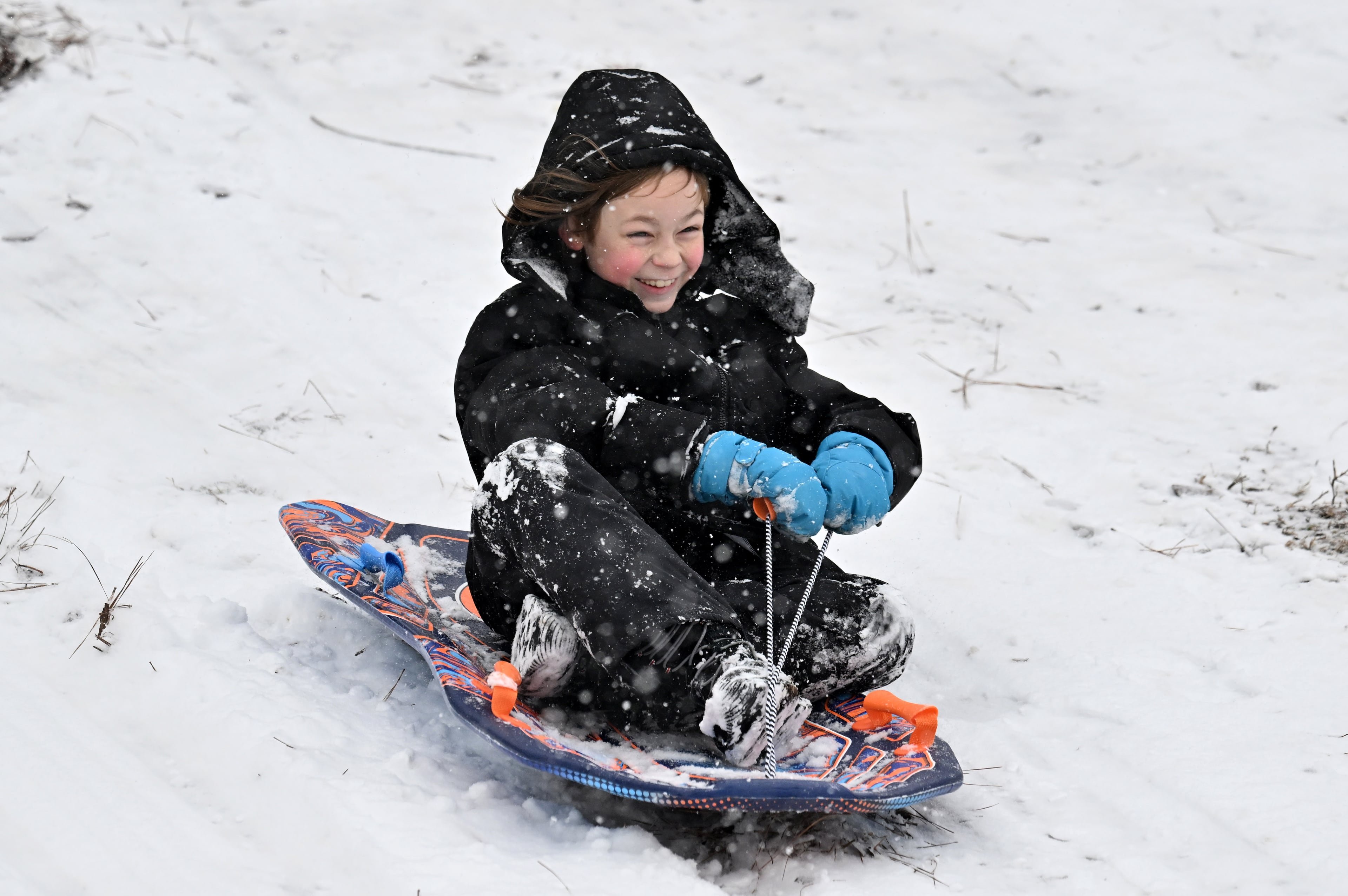
Winter storms bringing seasonal temperatures to much of US
After days of warmer than normal temperatures over many parts of the nation, a winter storm developing out west is set to bring in more seasonal temperatures, according to the National Weather Service.
Forecasters say a strong Pacific storm is continuing to roll across the West Thursday and Friday delivering rain, heavy mountain snow and strong winds. Heavy snow will continue Thursday over the Great Lakes and Northeast as a storm system shifts off the coast.
Another winter storm is anticipated to track from the Plains through the East, Friday through Sunday.
»Atlanta weather: Current radar, hourly and 7-day forecast
Much warmer than normal temperatures over the south, including metro Atlanta and Georgia, and the east coastal will give way to a strong area of Arctic high pressure. Temperatures will be 10 to 20 degrees below average for the Northern Plains into the Upper Great Lakes and over the Southern Rockies and Plains.
The Arctic high pressure system will surge southeast down from Canada on Thursday in the wake of a quick-moving storm system crossing the Great Lakes region and New England by early Thursday.
A swath of heavy snow is expected with this system, with some areas over portions of northern New York and Northern New England expected to receive in excess of 6 inches of snow by midday Thursday.
The very cold air in the wake of this storm will settle in through Friday, but then begin to modify and pull away by this weekend as the associated area of high pressure moves off the East Coast ahead of the approaching winter storm crossing the Plains and Midwest.
Meanwhile, heavy rain is expected for the immediate coastal ranges of Washington, Oregon and central to northern California where locally a few inches of rain is expected by the end of the week.
This winter storm will then reorganize by late Friday out across the High Plains and aim for the Midwest by Friday evening. Forecasters call for a widespread area of travel hazards over the central U.S. by Friday night, with very slippery roads and locally poor visibility. Several inches of snow can be expected with this system as it moves east.

