Bitter cold slaps metro Atlanta with freezing temps
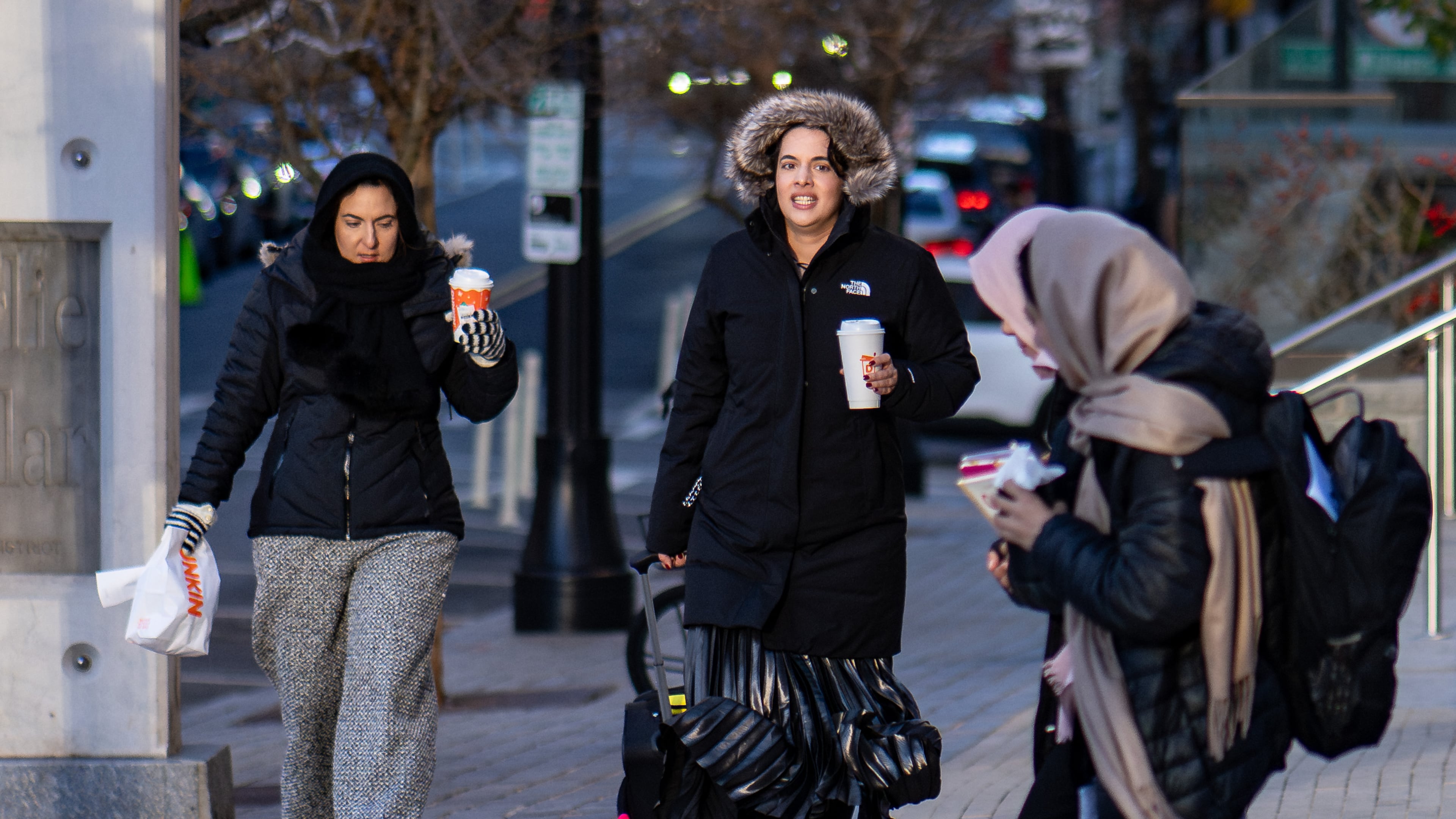
A brick to the face — that’s what the cold feels like in metro Atlanta as you step outside Thursday.
It’s the first of multiple cold fronts that could bring more opportunities for snow to the Peach State over the next few days. It’s too early for forecasters to make predictions with a high degree of confidence, but some light snow could fall in the North Georgia mountains Friday night, and even South Georgia could get some flurries Saturday.
On Thursday, though, metro area temperatures hovered in the 20s and 30s as the sun rose. Couple that with wind gusts up to 30 mph, and it has felt more like the teens and even single digits throughout the morning.
Air temperatures lifted above freezing at the Hartsfield-Jackson Atlanta International Airport at about 11:30 a.m. Thursday and had reached 36 degrees by 1:30 p.m., according to the National Weather Service.
In Atlanta, the high temp is expected to top out around 37 degrees.

“You can hear that cold air rushing in early this morning with the strong wind gusts,” Channel 2 Action News meteorologist Brian Monahan said.
Some school districts, including Fannin and Gilmer counties, have altered their schedules to adjust for the bitter cold.
The dry air and breezy conditions have also triggered a fire danger statement that’s in place Thursday afternoon through the evening. It covers all of North and Middle Georgia.
Milder temps are expected Friday. Highs will climb into the low 50s and lows should stay in the 40-degree range. But as we head into Saturday, another cold front is expected that will bring lows back into the 20s. Some higher elevations could see a few flurries overnight.
Saturday night will bring the second opportunity for snowflakes, but this time it will be over South Georgia as the cold front meets moisture flowing in from the Gulf Coast.
About the Author

Rosana Hughes is an award-winning bilingual (fluent in Spanish) journalist with a passion for explanatory public service journalism. She has been a reporter on the breaking news team since January 2022.

