Nation & World News
Satellite images show before and after of demolition of White House East Wing
New satellite images taken Thursday show the scale of the demolition of the White House East Wing as President Donald Trump moves forward with the construction of a new ballroom at the White House
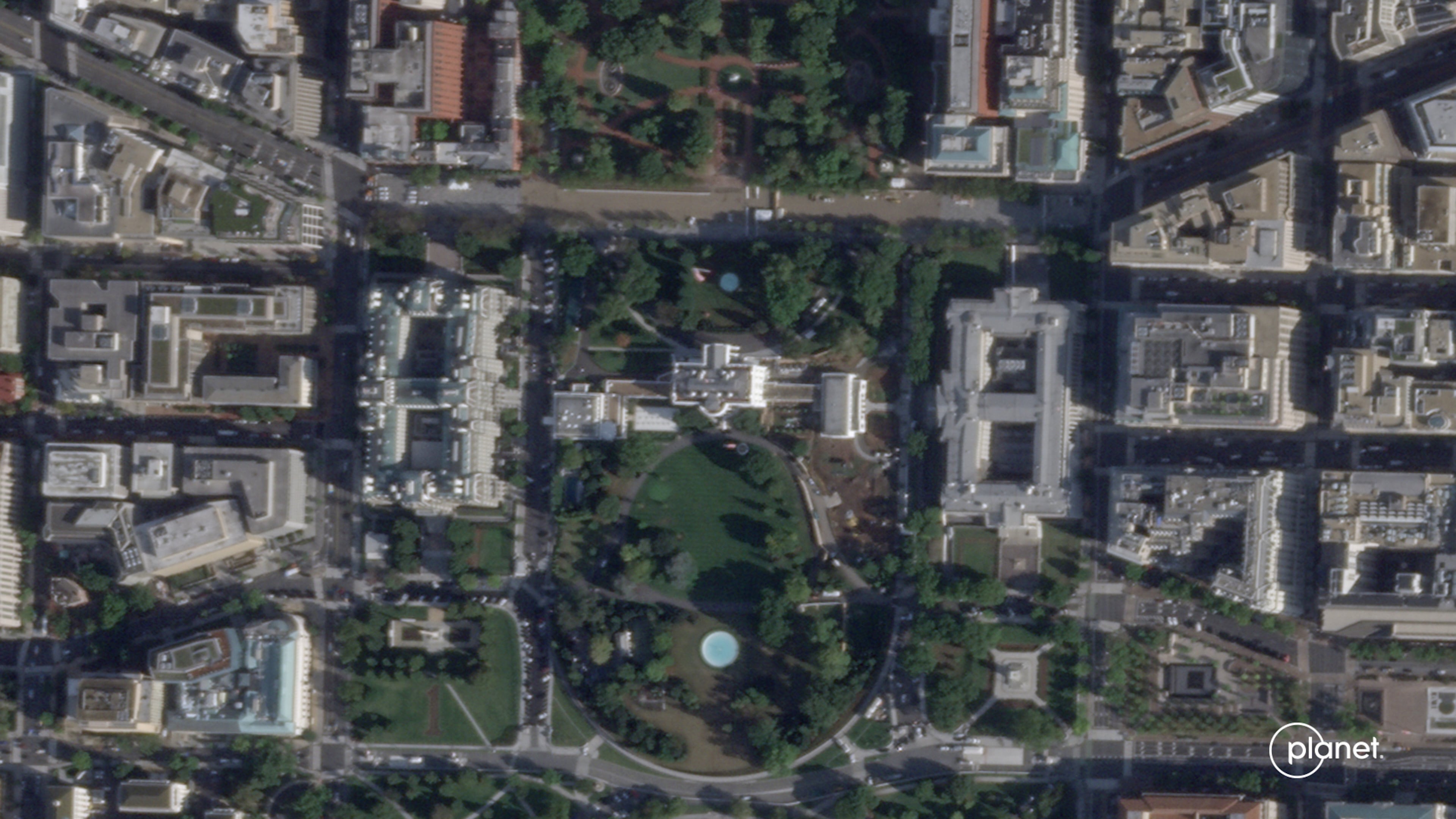
This satellite image from Planet Labs PBC shows the White House in Washington, Sept. 26, 2025, with the East Wing intact before demolition began. (Planet Labs PBC via AP)
WASHINGTON (AP) — New satellite images taken Thursday show the scale of the demolition of the White House East Wing as President Donald Trump moves forward with the construction of a new ballroom at the White House.
See the change in images from Oct. 23 and Sept. 26, 2025 in images from Planet Labs PBC.
