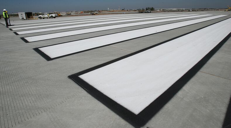
Airbus Aerial said it used a drone for runway mapping at Hartsfield-Jackson International Airport.
The Airbus drone subsidiary used a senseFly eBee Plus drone to capture images of the runway for mapping, which required Federal Aviation Administration clearance. The technology enables 3D mapping, contour layers and high-resolution imagery.
The mapping of the south runway will help determine whether the airport will use the service for runway inspections, according to Airbus Aerial. The drone subsidiary has also used drones for inspections of power lines for Southern Co., provided aerial data to insurance companies after hurricanes and helped with response after California wildfires.
About the Author
Keep Reading
The Latest
Featured


