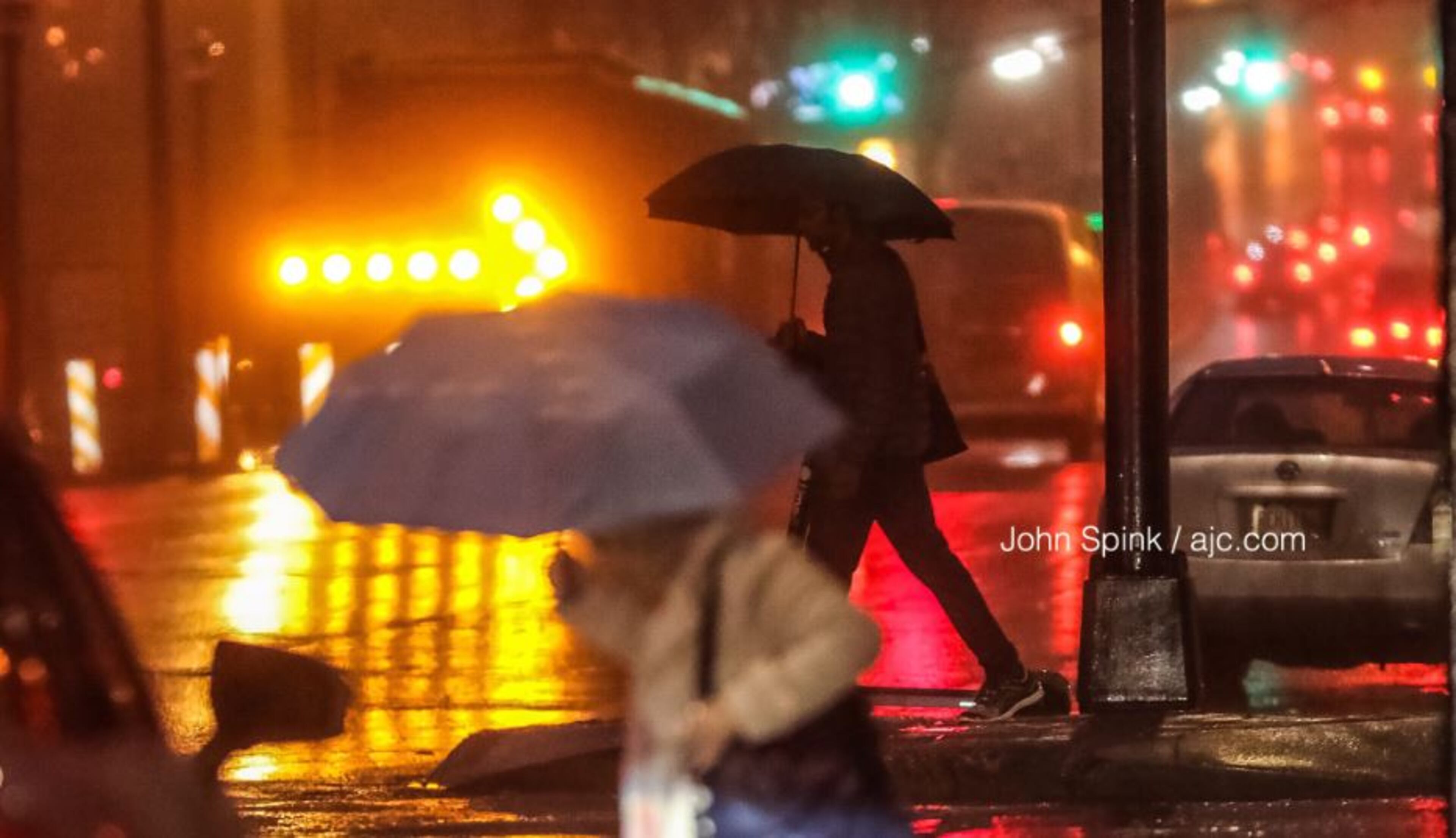
WEATHER-TRAFFIC UPDATE: Congestion still bad, but it’s improving on cloudy afternoon
ATLANTA FORECAST
Friday: High: 64
Friday night: Low: 40
Saturday: High: 58
» For a detailed forecast, visit The Atlanta Journal-Constitution weather page.
Traffic was pretty bad at the beginning of the evening commute, and even though it wasn't great at 5:45 p.m., it's definitely an improvement, according to the WSB 24-hour Traffic Center.
The evening commute began on wet roads as a result of a wave of showers that soaked Atlanta this morning and at lunchtime, but the city is getting a chance to dry out — unless you’re in Walton County, enduring the last shower of the day.
The last shower of the day is in Walton county moving east. I'm timing our clearing live on WSB-TV at 5 pm. pic.twitter.com/SX1NP1hpRl
— Brad Nitz (@BradNitzWSB) March 15, 2019
Henry County was hit especially hard with wrecks in both directions of I-75 near Jonesboro Road, but the interstate has mostly recovered from both incidents, the Traffic Center reported.
However, I-20 East drivers are still feeling the effects of a crash that previously blocked two lanes near the Downtown Connector, the Traffic Center reported. The wreck has been moved to the right shoulder, but delays linger.
#UPDATE Downtown: I-20/eb just past the connector; crash in the cleared to shoulder; delays https://t.co/2hvjWkI3bV #ATLtraffic pic.twitter.com/DIrLtTv8yz
— AJC WSB Traffic (@ajcwsbtraffic) March 15, 2019
Other delays on I-75 in Cobb County and the Downtown Connector can mostly be attributed to the evening commute.
The rain has moved out — and the threat for severe weather is over.

That’s a big improvement from Thursday night, when an EF0 tornado hit Floyd County, damaging the roofs of multiple mobile homes.
MORE: EF0 tornado touchdown confirmed in Floyd County
After a warm start in the 60s, temperatures are forecast to drop along with the chance of rain. At 3:30 p.m., Atlanta broke 60 degrees after spending most of the day in the upper 50s. It’s currently 61 degrees.
“As we head into late afternoon, we'll work into a little more sunshine,” Channel 2 Action News meteorologist Brian Monahan said. “It’s going to turn nicer, and we'll finally clear out overnight tonight.”
I think we'll be OK for after school games and practices today -- showers will diminish after about 12pm most areas.
— Brian Monahan, WSB (@BMonahanWSB) March 15, 2019
Updating the weekend forecast next live on Channel 2 at 6:19am. @wsbtv pic.twitter.com/alVXWWVLgg
The forecast is looking dry and cool for St. Patrick’s Day early celebrations Saturday. There will still be some clouds around, Monahan said, but Atlanta will see some sunshine, too.
The St. Patrick’s Day parade kicks off in Midtown at noon Saturday. Monahan said there will be a mix of sun and clouds at the parade start, with temperatures in the 50s.
The weather's looking good tomorrow for Atlanta's St. Patrick's Day Parade! Cool, but partly cloudy, with temperatures in the 50s. @wsbtv pic.twitter.com/liDEqwykUV
— Brian Monahan, WSB (@BMonahanWSB) March 15, 2019
Temps are expected to stay cool through early next week, he said. Morning lows are in the 40s and upper 30s the next few days, according to the latest forecast.

» For updated traffic information, listen to News 95.5 and AM 750 WSB and follow @ajcwsbtraffic on Twitter.
» Download The Atlanta Journal-Constitution app for weather alerts on-the-go.


