Heavy rains douse Atlanta, but severe weather heads south of metro
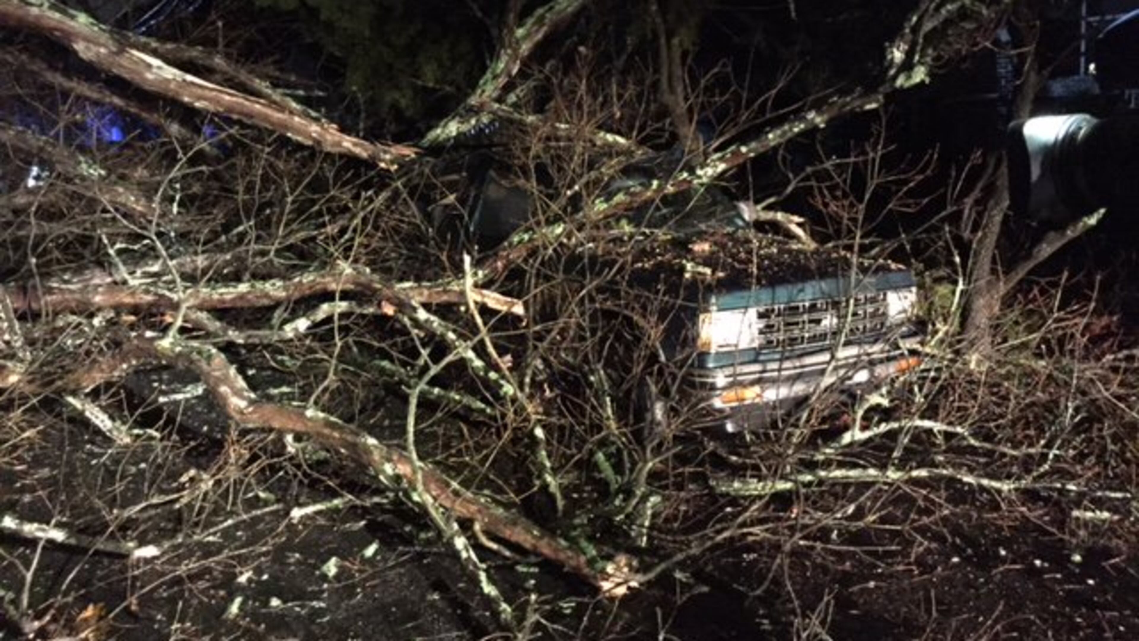
After a bleak winter day, hours of soaking rains fell on much of metro Atlanta Monday night, and severe weather threatened Middle and South Georgia into the predawn hours Tuesday.
Channel 2 Action News meteorologist Brad Nitz said about 10:30 p.m. that the roughest weather was likely to strike in areas southwest of metro Atlanta.
A tornado watch was issued for portions of South Georgia, including Albany, and was to remain in effect until 3 a.m.
Late Monday, a line of storms dumped what seemed to be endless rain on a metro region so recently parched by drought. Up to two inches of rain was recorded Monday.
By 5 a.m. Tuesday, the storms had largely passed, and the metro area will soon see lower temperatures. A high of 49 is forecast for Thursday; a high of 44 is expected on Friday.
With nearly daylong rain on Monday, a flood warning remained in effect until 7 a.m. Tuesday for counties just to the south of metro Atlanta, including Troup, Meriwether, Pike and Lamar.
Monday in metro Atlanta looked nothing like a holiday, with continual rain and patches of dense fog drifting across the region throughout the day.
Drivers were urged to remain alert, use low-beam headlights and leave extra distance between cars. Fortunately, the holiday Monday kept many people off the roads.