Interactive map walks you through Milton’s historic cemeteries
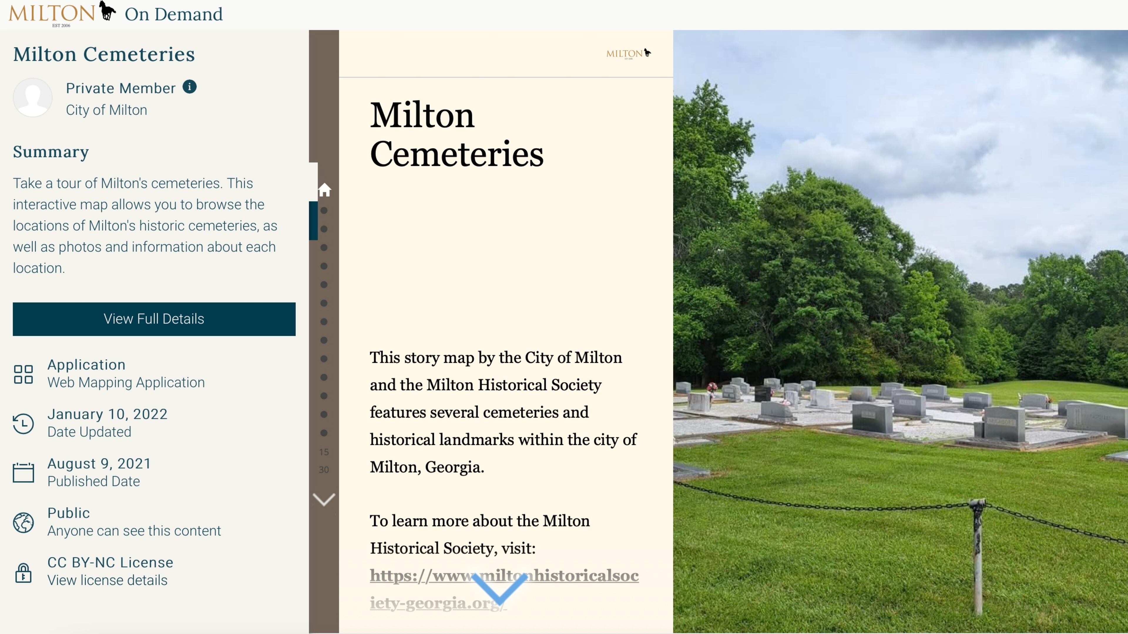
Milton, with the help of the city’s historical society, has developed a web-based interactive map of the city’s 27 cemeteries.
The effort to preserve Milton’s history provides exact coordinates of each cemetery, corresponding photographs and available information about the site. Most of the small 27 cemeteries are found on private property, usually current or former farms. The Milton Historical Society received permission from all property owners before adding them to the website.
“The main goal of this map is preservation,” said James Farris, a member of the Milton Historical Society Board of Directors. “Now that we know where the locations are, we can keep our eye on them and ensure nothing happens to them.”
Additional details and access to the map: www.cityofmiltonga.us/.../Com.../News/News/1133/1351.