Hurricane Trudy approaches Mexico coast as Typhoon Champi threatens Guam
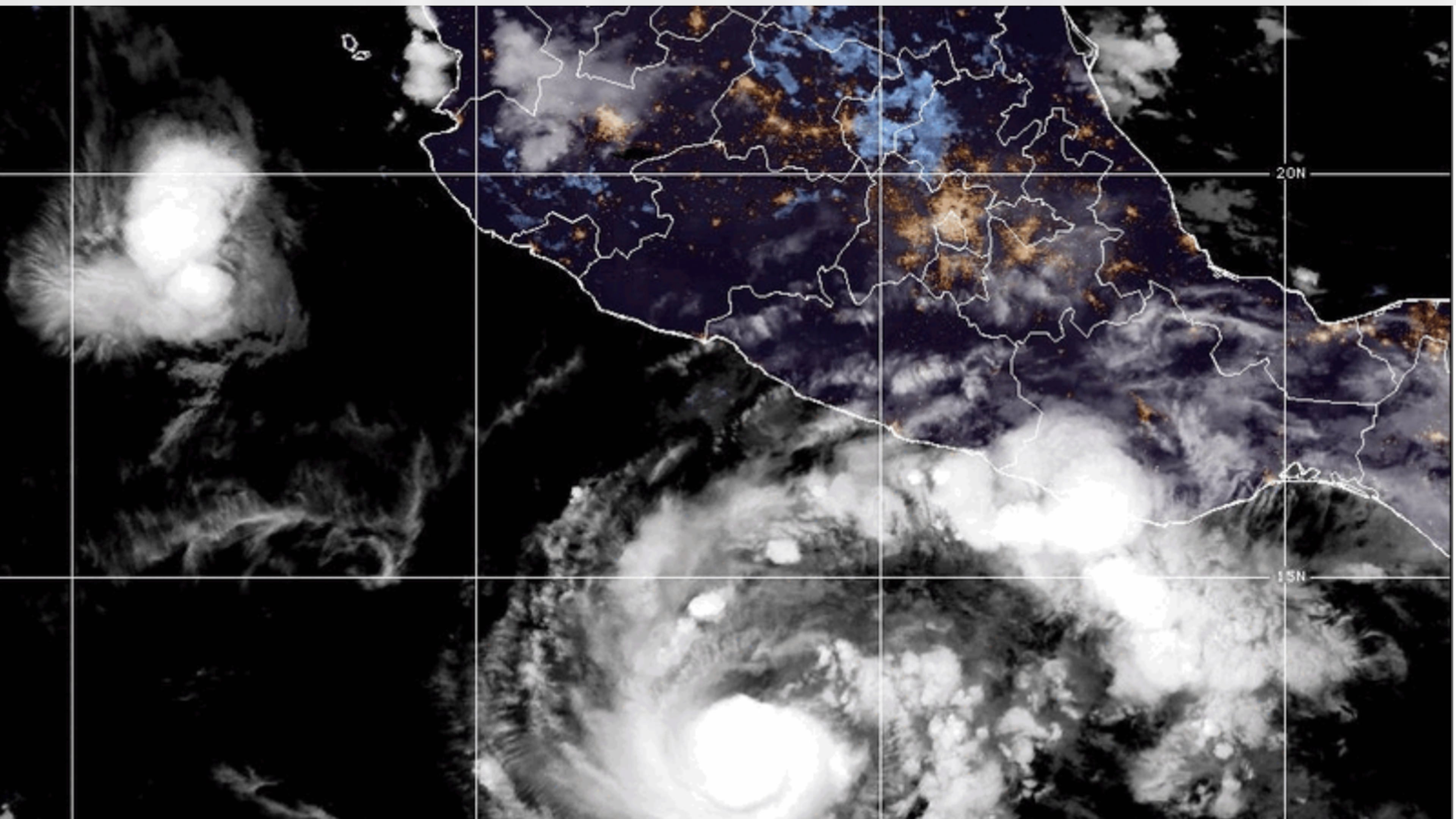
MIAMI (AP) — Hurricane Trudy moved toward Mexico’s southwestern and west-central Pacific coast and could strengthen through Saturday, the U.S. National Hurricane Center said.
Trudy’s center was expected to approach the coast on Saturday and pass near it into Sunday. A hurricane warning was in effect from Manzanillo in Colima state to Cabo Corrientes in Jalisco.
The latest NHC data showed the Category 1 hurricane with maximum sustained winds of 90 mph (150 kph) and was about 290 miles (465 kilometers) west of Acapulco in Guerrero state and 140 miles (220 kilometers) south-southeast of Manzanillo, moving northwest at 10 mph (17 kph).
The Mexican navy urged mariners and coastal residents to exercise extreme caution because of high waves, heavy rain and the risk of rising rivers, flooding and landslides in vulnerable areas.
Colima authorities said the risks remained low, but warned that heavy rainfall could cause damage because the ground was already saturated by successive storms along the Pacific coast.
Trudy was expected to bring 4-8 inches (10-20 centimeters) of rain through the weekend, with isolated totals of around 15 inches (38 centimeters).
Also in the Pacific, Typhoon Champi strengthened into a Category 4 storm as it moved west toward Guam at 15 mph (24 kph).
By Saturday night local time, Champi was about 25 miles (40 kilometers) southeast of Guam, with maximum sustained winds of 140 mph (225 kph), according to the U.S. National Weather Service.
The storm was forecast to pass south of Guam early Sunday local time and continue intensifying through the day. Guam and Rota remained under a typhoon warning, while Tinian and Saipan were under a tropical storm warning and typhoon watch.
The governors of Guam and the Northern Mariana Islands both requested emergency disaster declarations on Friday. Approval by U.S. President Donald Trump would authorize federal support and funding for emergency protective measures.
Airports, harbors and some health facilities in the territories were closed. Resources were unlikely to reach the islands for three to five days, according to Saturday updates from the Federal Emergency Management Agency.
The territories are still recovering from Super Typhoons Sinlaku and Bavi, which struck in April and July, respectively.