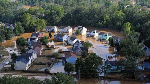
A Flood Risk Open House has been scheduled to answer Cherokee County property owners’ questions about the latest flood map changes and flood insurance options.
The open house is set for 5 to 7 p.m. Aug. 30 at the Cherokee County Administration Building, 1130 Bluffs Parkway, Canton.
The county Stormwater Engineering Department and Georgia Department of Natural Resources will have new FEMA Flood Insurance Rate Maps on display, according to a memo to the county Board of Commissioners by Public Works Director Geoffrey E. Morton.
DNR now identifies 21,320 acres and 904 buildings in Cherokeee as being in special flood hazard areas, a net 2,702 fewer acres and 516 fewer buildings than in prior FEMA rate maps, Morton said.
More information about flood risk, and a tool to help property owners determine if they are in an area prone to flooding, can be found at the Georgia Flood Map Program website: www.georgiadfirm.com/
Information: http://bit.ly/2vTGOvg


