News
Map: I-85 collapse, detours and road closures
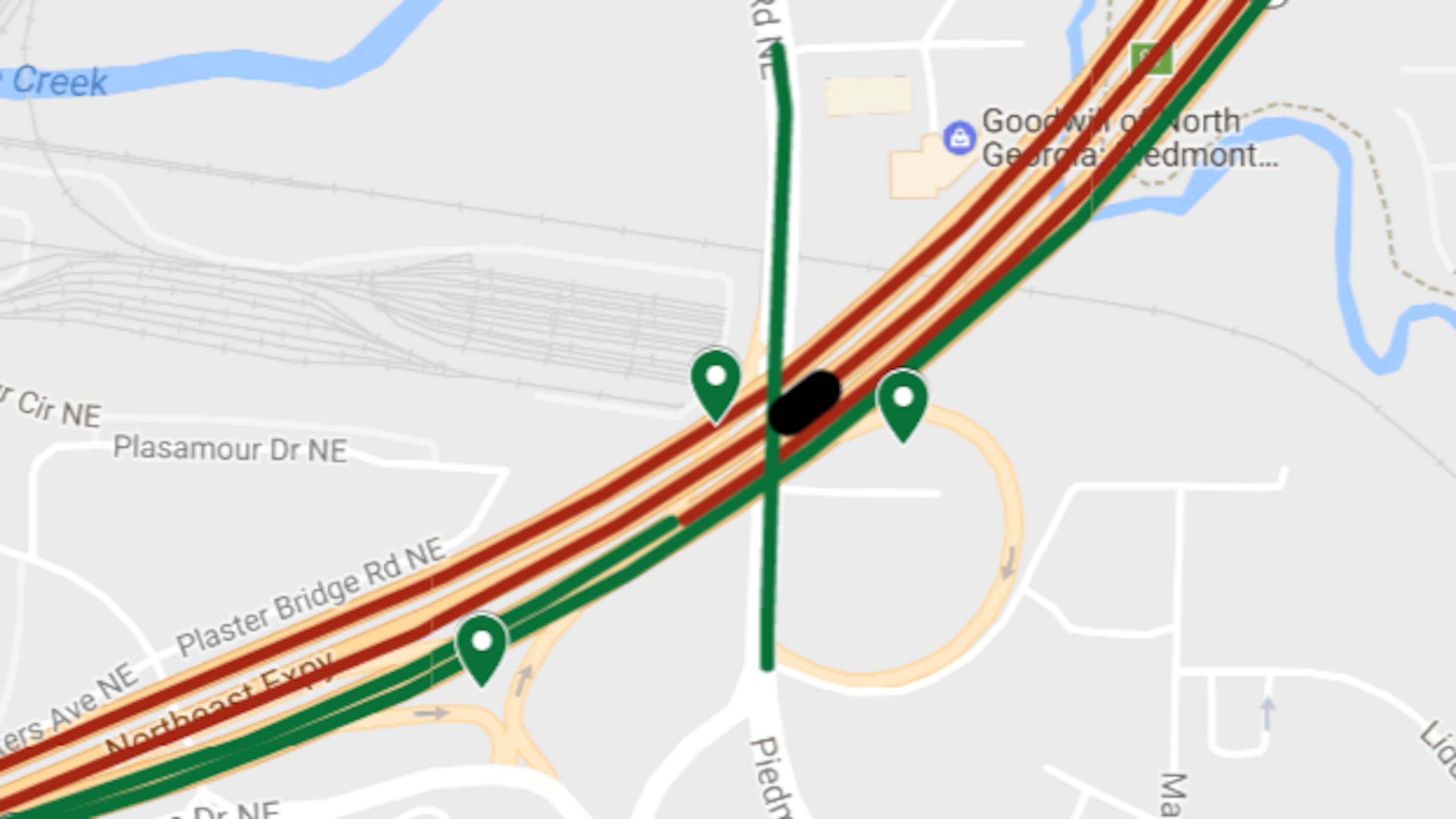
This is a detail of a map showing the location of Alanta's I-85 collapse, as well as road closures and detours.
By Pete Corson
March 31, 2017‘‘
Map: The I-85 bridge collapse, detours and road closures
The section of I-85 that collapsed on March 30 was rebuilt and reopened to full-capacity traffic on May 12 (northbound) and May 13 (southbound). LATEST UPDATE: 7:00 p.m. Saturday, May 13.
MORE INFORMATION: I-85 south reopens